|
search place name
|
||
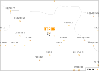
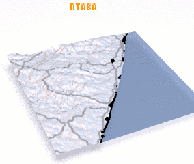
Ntaba (KwaZulu-Natal, South Africa)Ntaba is a town in the KwaZulu-Natal region of South Africa. An overview map of the region around Ntaba is displayed below.
regional and 3d topo map of Ntaba, South Africa ::
Ntaba airports ::
The nearest airport is MGH - Margate, located 56.3 km south of Ntaba.
Other airports nearby include DUR - Durban Intl (72.9 km north east), PZB - Pietermaritzburg (78.0 km north), VIR - Durban Virginia (94.9 km north east), LAY - Ladysmith (204.0 km north), Nearby towns ::
 Places with similar names to Ntaba, South Africa ::
Disclaimer :: Information on this page comes without warranty of any kind |
||
|
Where is Ntaba? Elevation and coordinates ::
Latitude (lat): 30°21'0"S Longitude (lon): 30°20'0"E
Elevation (approx.): 763m (map arrows pan, magnifying glasses zoom) |
||
|
Visiting Ntaba? Hotel/Accommodation ::
Book a hotel in Ntaba Travel Guide ::
rental cars ::
car rental offers GPS waypoint ::
download a GPX waypoint (PoI) of Ntaba for your GPS receiver
|
||