|
search place name
|
||
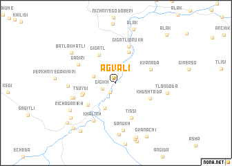
Agvali (Dagestan, Russia)Agvali is a town in the Dagestan region of Russia. An overview map of the region around Agvali is displayed below.
regional and 3d topo map of Agvali, Russia ::
Agvali airports ::
The nearest airport is MCX - Makhachkala Uytash, located 129.0 km east of Agvali.
Nearby towns ::
Kochali (1.6km south west) //
Gigikh (1.9km south west) //
Gachitli (2.9km north west) //
Tissi-Akhitli (4.3km south) //
Gigatl' (4.9km north west) //
Gigatli-Urukh (5.2km north) //
Tsuydi (4.3km south west) //
Tsidatl' (4.8km south west) //
Tsuydi (4.5km south west) //
Khushtada (4.7km south east) //
Kvanada (4.7km north east) //
Tissi (5.9km south) //
Gigatli-Urukh (6.0km north) //
Gadiri (5.4km north west) //
Khalikh (6.7km south west) //
Tsidatl' (5.6km south west) //
Tsidatl' (5.7km south west) //
Nizhniye Gakvari (5.7km west) //
Sanukh (7.7km south) //
Tenla (8.3km south) //
Tlondoda (6.4km east) //
Richaganikh (7.0km south west) //
Batlakhatli (7.2km north west) //
Alak (8.9km north) //
Issi (7.8km south west) //
Mukharkh (9.1km south) //
Gadaichi (8.9km south west) //
Gvanachi (9.4km south east) //
Tsumada-Urukh (8.9km south west) //
[all distances 'as the bird flies' and approximate] 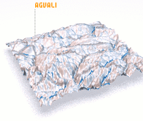 Places with similar names to Agvali, Russia ::
// Āqā Valī (IR)
// Akighil (NG)
// Akighil (NG)
// (( Akavla )) (UZ)
// Aiguavella (ES)
// Agafal (MA)
Disclaimer :: Information on this page comes without warranty of any kind |
||
|
Where is Agvali? Elevation and coordinates ::
Latitude (lat): 42°32'23"N Longitude (lon): 46°7'25"E
Elevation (approx.): 935m (map arrows pan, magnifying glasses zoom) |
||
|
Visiting Agvali? Hotel/Accommodation ::
Book a hotel in Agvali Travel Guide ::
Buy a travel guide for Russia rental cars ::
car rental offers GPS waypoint ::
download a GPX waypoint (PoI) of Agvali for your GPS receiver
|
||