|
search place name
|
||
Melekhova (Smolenskaya Oblast', Russia)Melekhova is a town in the Smolenskaya Oblast' region of Russia. An overview map of the region around Melekhova is displayed below.
regional and 3d topo map of Melekhova, Russia ::

Melekhova airports ::
The nearest airport is KLD - Tver Migalovo, located 144.7 km north east of Melekhova.
Nearby towns ::
Abbakumovo (2.9km north) //
Rodomanovo (2.3km south east) //
Odnobokovo (3.2km north west) //
Krasnaya Roshcha (3.6km north east) //
Trostyanki (4.2km south west) //
Kononovo (3.6km south west) //
Ragozino (6.0km north) //
Sorokino (6.1km north) //
Izvozki (6.0km north east) //
Lyapino (7.2km south east) //
Zlatoustovo (8.3km north) //
Bol'shaya Pechishënka (8.5km north west) //
Podseva (7.2km north west) //
Novoye Selo (7.8km south west) //
Svistovo (8.6km south east) //
[all distances 'as the bird flies' and approximate] 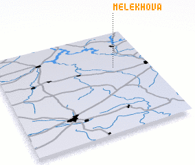 Places with similar names to Melekhova, Russia ::
Disclaimer :: Information on this page comes without warranty of any kind |
||
|
Where is Melekhova? Elevation and coordinates ::
Latitude (lat): 55°38'49"N Longitude (lon): 34°46'16"E
Elevation (approx.): 196m (map arrows pan, magnifying glasses zoom) |
||
|
Visiting Melekhova? Hotel/Accommodation ::
Book a hotel in Melekhova Travel Guide ::
Buy a travel guide for Russia rental cars ::
car rental offers GPS waypoint ::
download a GPX waypoint (PoI) of Melekhova for your GPS receiver
|
||