|
search place name
|
||
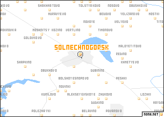
Solnechnogorsk (Moskovskaya Oblast', Russia)Solnechnogorsk is a town in the Moskovskaya Oblast' region of Russia. An overview map of the region around Solnechnogorsk is displayed below.
regional and 3d topo map of Solnechnogorsk, Russia ::
Solnechnogorsk airports ::
The nearest airport is SVO - Moscow Sheremetyevo, located 35.7 km south east of Solnechnogorsk.
Other airports nearby include VKO - Moscow Vnukovo (68.2 km south), KLD - Tver Migalovo (103.9 km north west), Nearby towns ::
Spass-Slobodka (2.1km south west) //
Dubinino (4.2km south east) //
Vertlino (5.7km north) //
Bol'shoye Snopovo (5.7km south) //
Chepchikha (3.6km north west) //
Zagor'ye (5.7km north) //
Senezh (3.6km north east) //
Sergeyevka (7.5km north) //
Novoye (7.5km north) //
Kozino (6.4km north west) //
Timonovo (6.4km north east) //
Savel'yevo (6.4km south east) //
Novinki (7.7km south) //
Obukhovo (5.5km south west) //
Kon'kovo (8.0km south west) //
[all distances 'as the bird flies' and approximate] 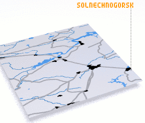 Places with similar names to Solnechnogorsk, Russia :: Disclaimer :: Information on this page comes without warranty of any kind |
||
|
Where is Solnechnogorsk? Elevation and coordinates ::
Latitude (lat): 56°11'0"N Longitude (lon): 36°59'0"E
Elevation (approx.): 197m (map arrows pan, magnifying glasses zoom) |
||
|
Visiting Solnechnogorsk? Hotel/Accommodation ::
Book a hotel in Solnechnogorsk Travel Guide ::
Buy a travel guide for Russia rental cars ::
car rental offers GPS waypoint ::
download a GPX waypoint (PoI) of Solnechnogorsk for your GPS receiver
|
||