|
search place name
|
||
Dunavant (Alabama, United States - USA)Dunavant is a town in the Alabama region of United States - USA. An overview map of the region around Dunavant is displayed below.
regional and 3d topo map of Dunavant, United States - USA ::

Dunavant airports ::
The nearest airport is BHM - Birmingham Intl, located 20.9 km west of Dunavant.
Other airports nearby include ANB - Anniston Metro (64.6 km east), MXF - Montgomery Maxwell Afb (124.3 km south), HUA - Redstone Aaf (132.1 km north), CBM - Colombus Columbus Afb (177.2 km west), Nearby towns ::
Winburn (1.7km north) //
Oak Crossing (3.6km north) //
Vandiver (3.8km south east) //
Maplewood (5.1km north) //
Cahaba Hills (5.8km north west) //
Leeds (6.1km north) //
Russell Heights (6.8km north) //
Scott City (6.8km north west) //
Sterrett (7.8km south east) //
Lovick (9.7km north west) //
Lola City (10.3km north west) //
McCombs (10.3km north west) //
[all distances 'as the bird flies' and approximate] 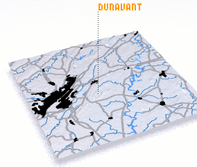 Places with similar names to Dunavant, United States - USA ::
// Dunavant (US)
// Dunavant (US)
// Danéfandou (NE)
// Tīneh Vand (IR)
// Dunvant (GB)
// Den Veind (BE)
Disclaimer :: Information on this page comes without warranty of any kind |
||
|
Where is Dunavant? Elevation and coordinates ::
Latitude (lat): 33°29'36"N Longitude (lon): 86°32'39"W
Elevation (approx.): 207m (map arrows pan, magnifying glasses zoom) |
||
|
Visiting Dunavant? Hotel/Accommodation ::
Book a hotel in Dunavant Travel Guide ::
rental cars ::
car rental offers GPS waypoint ::
download a GPX waypoint (PoI) of Dunavant for your GPS receiver
|
||