|
search place name
|
||
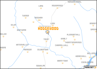
Hodgewood (Alabama, United States - USA)Hodgewood is a town in the Alabama region of United States - USA. An overview map of the region around Hodgewood is displayed below.
regional and 3d topo map of Hodgewood, United States - USA ::
Hodgewood airports ::
The nearest airport is NMM - Meridian Nas, located 72.2 km north of Hodgewood.
Other airports nearby include MOB - Mobile Rgnl (138.3 km south), BFM - Mobile Downtown (147.0 km south), JAN - Jackson Evers Intl (172.4 km west), BIX - Biloxi Keesler Afb (179.4 km south), Nearby towns ::
Jackson Spur (2.5km north west) //
Toxey (2.8km south) //
Lusk (3.7km north) //
Wimbly (5.7km south east) //
Bogueloosa (6.3km north west) //
Needham (6.5km north west) //
Gilbertown (6.9km south) //
Old Samuel (7.2km south) //
Chappell Hill (6.7km south east) //
Brightwater (6.8km north west) //
Paragon (9.6km south west) //
Turner (9.8km north west) //
[all distances 'as the bird flies' and approximate] 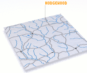 Places with similar names to Hodgewood, United States - USA ::
Disclaimer :: Information on this page comes without warranty of any kind |
||
|
Where is Hodgewood? Elevation and coordinates ::
Latitude (lat): 31°56'14"N Longitude (lon): 88°18'8"W
Elevation (approx.): 38m (map arrows pan, magnifying glasses zoom) |
||
|
Visiting Hodgewood? Hotel/Accommodation ::
Book a hotel in Hodgewood Travel Guide ::
rental cars ::
car rental offers GPS waypoint ::
download a GPX waypoint (PoI) of Hodgewood for your GPS receiver
|
||