|
search place name
|
||
Larkin (Arkansas, United States - USA)Larkin is a town in the Arkansas region of United States - USA. An overview map of the region around Larkin is displayed below.
regional and 3d topo map of Larkin, United States - USA ::

Larkin airports ::
The nearest airport is JBR - Jonesboro Muni, located 114.5 km east of Larkin.
Other airports nearby include HRO - Harrison Boone Co (116.9 km west), LRF - Jacksonville Little Rock Afb (135.0 km south), LIT - Little Rock Adams Fld (156.7 km south), BYH - Blytheville Arkansas Intl (174.1 km east), Nearby towns ::
New Liberty (2.2km north) //
LaCrosse (3.3km south east) //
Violet Hill (5.2km north east) //
Belview (5.2km south west) //
Melbourne (6.9km south west) //
Brockwell (6.3km north west) //
Sage (8.7km south east) //
[all distances 'as the bird flies' and approximate] 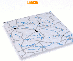 Places with similar names to Larkin, United States - USA ::
// Laragan (PH)
// Lurugan (PH)
// Larkin (US)
// Lürken (DE)
// Larkin (MY)
// La Araucana (CU)
// La Argueña (ES)
// La Raconá (ES)
// Laricano (ES)
// Lar'kino (RU)
Disclaimer :: Information on this page comes without warranty of any kind |
||
|
Where is Larkin? Elevation and coordinates ::
Latitude (lat): 36°6'42"N Longitude (lon): 91°52'4"W
Elevation (approx.): 237m (map arrows pan, magnifying glasses zoom) |
||
|
Visiting Larkin? Hotel/Accommodation ::
Book a hotel in Larkin Travel Guide ::
rental cars ::
car rental offers GPS waypoint ::
download a GPX waypoint (PoI) of Larkin for your GPS receiver
|
||