|
search place name
|
||
Benicia (California, United States - USA)Benicia is a town in the California region of United States - USA. An overview map of the region around Benicia is displayed below.
regional and 3d topo map of Benicia, United States - USA ::

Benicia airports ::
The nearest airport is SUU - Fairfield Travis Afb, located 31.1 km north east of Benicia.
Other airports nearby include OAK - Metropolitan Oakland Intl (36.8 km south), SFO - San Francisco Intl (51.5 km south), NUQ - Mountain View Moffett Federal Afld (70.9 km south), SAC - Sacramento Executive (77.6 km north east), Nearby towns ::
Martinez (4.0km south east) //
Eckley (3.9km west) //
Mococo (4.6km south east) //
Glen Frazer (5.7km south) //
Glencove (4.7km north west) //
Crockett (4.8km west) //
Crolona Heights (5.3km west) //
Valona (5.8km west) //
Christie (6.7km south west) //
Bahia (7.2km north east) //
Vine Hill (7.1km south east) //
Harry Floyd Terrace (11.3km north west) //
[all distances 'as the bird flies' and approximate] 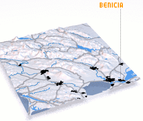 Places with similar names to Benicia, United States - USA ::
// Ben Aouich (MA)
// Beni Aïchi (MA)
// Bench (US)
// Ban Ao Cho (TH)
// Ban Chae (TH)
// Ban Chai (TH)
// Ban Chi (TH)
// Ban Chia (TH)
// Ban Chia (TH)
// Ban Cho (TH)
Disclaimer :: Information on this page comes without warranty of any kind |
||
|
Where is Benicia? Elevation and coordinates ::
Latitude (lat): 38°2'58"N Longitude (lon): 122°9'27"W
Elevation (approx.): 6m (map arrows pan, magnifying glasses zoom) |
||
|
Visiting Benicia? Hotel/Accommodation ::
Book a hotel in Benicia Travel Guide ::
rental cars ::
car rental offers GPS waypoint ::
download a GPX waypoint (PoI) of Benicia for your GPS receiver
|
||