|
search place name
|
||
Boneville (Georgia, United States - USA)Boneville is a town in the Georgia region of United States - USA. An overview map of the region around Boneville is displayed below.
regional and 3d topo map of Boneville, United States - USA ::

Boneville airports ::
The nearest airport is AGS - Bush Field Augusta Rgnl At Bush Fld, located 44.7 km east of Boneville.
Other airports nearby include AND - Andersen Anderson Rgnl (120.3 km north), CAE - Colombia Columbia Metropolitan (134.6 km north east), WRB - Macon Robins Afb (139.1 km south west), MCN - Macon Middle Georgia Rgnl (139.7 km south west), Nearby towns ::
Dearing (5.5km south east) //
Megahee (6.4km south east) //
Happy Valley (8.1km south) //
Thomson (7.4km north west) //
Adamsville (9.1km south east) //
[all distances 'as the bird flies' and approximate] 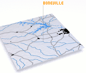 Places with similar names to Boneville, United States - USA ::
// Bonfal (PH)
// Benevola (US)
// Bonneville (US)
// Booneville (US)
// Bonfol (CH)
// Booneville (US)
// Boonville (US)
// Benville (US)
// Boonville (US)
// Bayneville (US)
Disclaimer :: Information on this page comes without warranty of any kind |
||
|
Where is Boneville? Elevation and coordinates ::
Latitude (lat): 33°26'0"N Longitude (lon): 82°26'20"W
Elevation (approx.): 145m (map arrows pan, magnifying glasses zoom) |
||
|
Visiting Boneville? Hotel/Accommodation ::
Book a hotel in Boneville Travel Guide ::
rental cars ::
car rental offers GPS waypoint ::
download a GPX waypoint (PoI) of Boneville for your GPS receiver
|
||