|
search place name
|
||
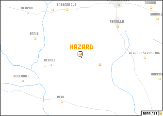
Hazard (Georgia, United States - USA)Hazard is a town in the Georgia region of United States - USA. An overview map of the region around Hazard is displayed below.
regional and 3d topo map of Hazard, United States - USA ::
Hazard airports ::
The nearest airport is WRB - Macon Robins Afb, located 70.8 km west of Hazard.
Other airports nearby include MCN - Macon Middle Georgia Rgnl (74.1 km west), AGS - Bush Field Augusta Rgnl At Bush Fld (102.4 km north east), ATL - Hartsfield Jackson Atlanta Intl (166.9 km north west), SAV - Savannah Hilton Head Intl (178.4 km south east), Nearby towns ::
Irwins Crossroads (3.8km south east) //
Oconee (6.1km west) //
Gardner (7.4km west) //
Tennille (10.1km north east) //
[all distances 'as the bird flies' and approximate] 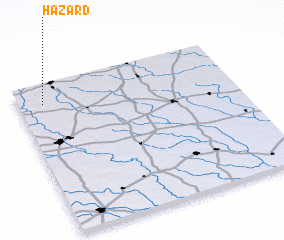 Places with similar names to Hazard, United States - USA ::
Disclaimer :: Information on this page comes without warranty of any kind |
||
|
Where is Hazard? Elevation and coordinates ::
Latitude (lat): 32°52'13"N Longitude (lon): 82°53'12"W
Elevation (approx.): 103m (map arrows pan, magnifying glasses zoom) |
||
|
Visiting Hazard? Hotel/Accommodation ::
Book a hotel in Hazard Travel Guide ::
rental cars ::
car rental offers GPS waypoint ::
download a GPX waypoint (PoI) of Hazard for your GPS receiver
|
||