|
search place name
|
||
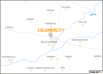
Columbia City (Indiana, United States - USA)Columbia City is a town in the Indiana region of United States - USA. An overview map of the region around Columbia City is displayed below.
regional and 3d topo map of Columbia City, United States - USA ::
Columbia City airports ::
The nearest airport is GUS - Peru Grissom Arb, located 79.5 km south west of Columbia City.
Other airports nearby include IND - Indianapolis Intl (173.9 km south west), DAY - James M Cox Dayton Intl (176.0 km south east), GRR - Grand Rapids Gerald R Ford Intl (191.5 km north), FFO - Dayton Wright Patterson Afb (191.7 km south east), Nearby towns ::
Walnut Corners (2.8km south) //
Five Points (4.0km north) //
Peabody (7.9km south) //
Briggs (8.1km south) //
Cresco (8.7km north) //
Lorane (8.1km north west) //
Raber (9.2km south east) //
[all distances 'as the bird flies' and approximate] 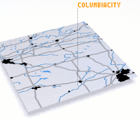 Places with similar names to Columbia City, United States - USA ::
// Climeşti (RO)
// Columbus City (US)
// Galmist (AT)
// Columbus City (US)
// Klomset (NO)
// Climeşti (RO)
// Glamazdy (RU)
// Glomazdy (RU)
// Columbia City (US)
// Kulumesid (SD)
Disclaimer :: Information on this page comes without warranty of any kind |
||
|
Where is Columbia City? Elevation and coordinates ::
Latitude (lat): 41°9'26"N Longitude (lon): 85°29'18"W
Elevation (approx.): 269m (map arrows pan, magnifying glasses zoom) |
||
|
Visiting Columbia City? Hotel/Accommodation ::
Book a hotel in Columbia City Travel Guide ::
rental cars ::
car rental offers GPS waypoint ::
download a GPX waypoint (PoI) of Columbia City for your GPS receiver
|
||