|
search place name
|
||
Kitchel (Indiana, United States - USA)Kitchel is a town in the Indiana region of United States - USA. An overview map of the region around Kitchel is displayed below.
regional and 3d topo map of Kitchel, United States - USA ::

Kitchel airports ::
The nearest airport is DAY - James M Cox Dayton Intl, located 60.1 km north east of Kitchel.
Other airports nearby include FFO - Dayton Wright Patterson Afb (71.5 km east), CVG - Cincinnati Northern Kentucky Intl (72.4 km south), LUK - Cincinnati Muni Lunken Fld (74.8 km south east), IND - Indianapolis Intl (123.0 km west), Nearby towns ::
Witts Station (3.2km north) //
Five Points (3.3km north) //
Goodwins Corner (4.5km south east) //
Boston (6.5km north) //
Lotus (8.2km south) //
Liberty (8.0km south west) //
[all distances 'as the bird flies' and approximate] 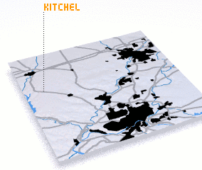 Places with similar names to Kitchel, United States - USA ::
// Gatchel (US)
// KuTshulu (ZA)
// Kotchila (RU)
// Kitts Hill (US)
// Gads Hill (US)
// Kitchell (US)
// Kitts Hill (US)
// Catchall (US)
// Gotchélé (CF)
// Kitshula (CD)
Disclaimer :: Information on this page comes without warranty of any kind |
||
|
Where is Kitchel? Elevation and coordinates ::
Latitude (lat): 39°40'59"N Longitude (lon): 84°51'41"W
Elevation (approx.): 335m (map arrows pan, magnifying glasses zoom) |
||
|
Visiting Kitchel? Hotel/Accommodation ::
Book a hotel in Kitchel Travel Guide ::
rental cars ::
car rental offers GPS waypoint ::
download a GPX waypoint (PoI) of Kitchel for your GPS receiver
|
||