|
search place name
|
||
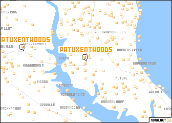
Patuxent Woods (Maryland, United States - USA)Patuxent Woods is a town in the Maryland region of United States - USA. An overview map of the region around Patuxent Woods is displayed below.
regional and 3d topo map of Patuxent Woods, United States - USA ::
Patuxent Woods airports ::
The nearest airport is NHK - Patuxent River Nas, located 31.1 km south east of Patuxent Woods.
Other airports nearby include ADW - Camp Springs Andrews Afb (Washington Dc Naf) (39.4 km north west), DCA - Ronald Reagan Washington Natl (52.3 km north west), BWI - Baltimore Washington Intl (73.6 km north), IAD - Washington Dulles Intl (87.0 km north west), Nearby towns ::
Valley Lee (0.4km south) //
Welland at Barstow (0.6km south west) //
Chapel Hill (1.1km north east) //
Barstow (1.4km north) //
Buena Vista Hills (1.7km north) //
Bowens (2.0km south) //
Follywoods (2.1km south west) //
Calvert Mobile Home Park (2.3km west) //
Goodwins (2.6km south east) //
Woodridge (2.7km north east) //
Fox Hill (3.1km south east) //
German Chapel Woods (2.6km east) //
Cedar Beach (2.7km west) //
Adelina (3.6km south) //
Buena Vista on the Patuxent (3.0km north west) //
The Knolls (3.5km north east) //
Leming (3.4km south west) //
Buena Vista (3.2km north west) //
Cypress Knolls (3.7km south east) //
Hunters Ridge (4.6km north) //
Patuxent View (3.7km west) //
Honey Cove Estates (4.6km south) //
Burch (3.7km west) //
Anchorage Park Mobile Home Park (3.7km west) //
Prince Frederick (4.3km north east) //
Calvert Towne (4.3km north east) //
Stoakley (5.4km north) //
Westfield Station (5.7km north) //
Buckler Trailer Park (5.7km north) //
[all distances 'as the bird flies' and approximate]  Places with similar names to Patuxent Woods, United States - USA ::
// Patuxent Woods (US)
Disclaimer :: Information on this page comes without warranty of any kind |
||
|
Where is Patuxent Woods? Elevation and coordinates ::
Latitude (lat): 38°30'47"N Longitude (lon): 76°37'14"W
Elevation (approx.): 48m (map arrows pan, magnifying glasses zoom) |
||
|
Visiting Patuxent Woods? Hotel/Accommodation ::
Book a hotel in Patuxent Woods Travel Guide ::
rental cars ::
car rental offers GPS waypoint ::
download a GPX waypoint (PoI) of Patuxent Woods for your GPS receiver
|
||