|
search place name
|
||
Dorsey (Mississippi, United States - USA)Dorsey is a town in the Mississippi region of United States - USA. An overview map of the region around Dorsey is displayed below.
regional and 3d topo map of Dorsey, United States - USA ::

Dorsey airports ::
The nearest airport is CBM - Colombus Columbus Afb, located 67.7 km south of Dorsey.
Other airports nearby include MKL - Jackson Mc Kellar Sipes Rgnl (154.1 km north), MEM - Memphis Intl (160.5 km north west), GWO - Greenwood Leflore (168.2 km south west), HUA - Redstone Aaf (174.2 km east), Nearby towns ::
Ballardsville (2.8km west) //
Greenwood (3.8km south) //
Abney (4.8km south east) //
West Fulton (5.5km east) //
Mooreville (6.4km west) //
Shiloh (8.1km north) //
Mantachie (8.2km north) //
Richmond (8.0km south west) //
Eggville (10.3km north west) //
[all distances 'as the bird flies' and approximate] 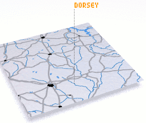 Places with similar names to Dorsey, United States - USA ::
// Douar ez Zaouia (MA)
// Douar Zaouia (MA)
// Tarasa (RU)
// Tarasy (RU)
// Tarasy (RU)
// Tarusa (RU)
// Tarusy (RU)
// Terasy (RU)
// Torres (BO)
// Torrez (BO)
Disclaimer :: Information on this page comes without warranty of any kind |
||
|
Where is Dorsey? Elevation and coordinates ::
Latitude (lat): 34°15'7"N Longitude (lon): 88°30'35"W
Elevation (approx.): 120m (map arrows pan, magnifying glasses zoom) |
||
|
Visiting Dorsey? Hotel/Accommodation ::
Book a hotel in Dorsey Travel Guide ::
rental cars ::
car rental offers GPS waypoint ::
download a GPX waypoint (PoI) of Dorsey for your GPS receiver
|
||