|
search place name
|
||
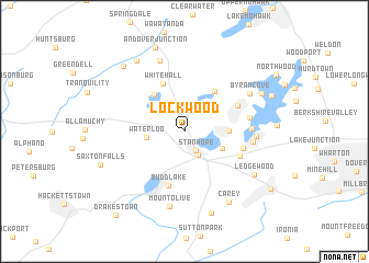
Lockwood (New Jersey, United States - USA)Lockwood is a town in the New Jersey region of United States - USA. An overview map of the region around Lockwood is displayed below.
regional and 3d topo map of Lockwood, United States - USA ::
Lockwood airports ::
The nearest airport is EWR - Newark Liberty Intl, located 52.9 km south east of Lockwood.
Other airports nearby include TEB - Teterboro (56.1 km east), TTN - Trenton Mercer (71.9 km south), LGA - New York La Guardia (73.2 km east), SWF - Newburgh Stewart Intl (82.8 km north east), Nearby towns ::
Stanhope (2.2km south east) //
Netcong (2.6km south east) //
Waterloo (3.0km west) //
Port Morris (3.4km south east) //
Hopatcong Heights (3.5km east) //
Cranberry Lake (4.4km north west) //
Roseville (4.7km north east) //
Whitehall (5.2km north) //
Budd Lake (5.6km south) //
Hopatcong Hills (4.8km north east) //
Shippenport (4.9km south east) //
Landing (4.9km east) //
Hopatcong (5.2km east) //
Point Pleasant (5.2km east) //
Shore Hills (5.4km east) //
Silver Springs (5.6km east) //
Byram Cove (6.3km north east) //
Andover (7.5km north) //
Mount Olive (7.8km south) //
Ledgewood (6.9km south east) //
Carey (8.0km south east) //
Brighton (8.1km north west) //
Flanders (8.6km south) //
Sperry Springs (7.1km north east) //
Andover Junction (8.8km north) //
Huntsville (8.1km north west) //
Saxton Falls (7.3km south west) //
Bonaparte Landing (7.6km north east) //
Succasunna (8.8km south east) //
[all distances 'as the bird flies' and approximate] 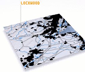 Places with similar names to Lockwood, United States - USA ::
Disclaimer :: Information on this page comes without warranty of any kind |
||
|
Where is Lockwood? Elevation and coordinates ::
Latitude (lat): 40°55'14"N Longitude (lon): 74°43'11"W
Elevation (approx.): 226m (map arrows pan, magnifying glasses zoom) |
||
|
Visiting Lockwood? Hotel/Accommodation ::
Book a hotel in Lockwood Travel Guide ::
rental cars ::
car rental offers GPS waypoint ::
download a GPX waypoint (PoI) of Lockwood for your GPS receiver
|
||