|
search place name
|
||
Sandyfield (North Carolina, United States - USA)Sandyfield is a town in the North Carolina region of United States - USA. An overview map of the region around Sandyfield is displayed below.
regional and 3d topo map of Sandyfield, United States - USA ::

Sandyfield airports ::
The nearest airport is ILM - Wilmington Intl, located 38.2 km east of Sandyfield.
Other airports nearby include NCA - Jacksonville New River Mcas (86.9 km north east), MYR - Myrtle Beach Intl (96.8 km south west), POB - Fayetteville Pope Afb (109.9 km north west), GSB - Goldsboro Seymour Johnson Afb (111.2 km north), Nearby towns ::
East Arcadia (2.5km west) //
Armour (5.1km south east) //
Byrdville (6.6km south) //
Freeman (6.7km south) //
Riegelwood (7.7km south east) //
Zara (8.8km north west) //
Delco (9.5km south east) //
New Berlin (9.8km south east) //
[all distances 'as the bird flies' and approximate] 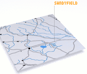 Places with similar names to Sandyfield, United States - USA ::
// Sandfield (US)
// Sandfeld (DE)
// Sandfeld (DE)
// Sandfelde (DE)
// Sandy Flat (US)
// Sand Flat (US)
// Sand Flat (US)
// Saintfield (GB)
// Saint-Avold (FR)
// Zondveld (NL)
Disclaimer :: Information on this page comes without warranty of any kind |
||
|
Where is Sandyfield? Elevation and coordinates ::
Latitude (lat): 34°22'35"N Longitude (lon): 78°17'50"W
Elevation (approx.): 11m (map arrows pan, magnifying glasses zoom) |
||
|
Visiting Sandyfield? Hotel/Accommodation ::
Book a hotel in Sandyfield Travel Guide ::
rental cars ::
car rental offers GPS waypoint ::
download a GPX waypoint (PoI) of Sandyfield for your GPS receiver
|
||