|
search place name
|
||
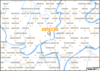
Ðông Cao (Vietnam)Ðông Cao is a town in Vietnam. An overview map of the region around Ðông Cao is displayed below.
regional and 3d topo map of Ðông Cao, Vietnam ::
Ðông Cao airports ::
The nearest airport is HAN - Hanoi Noibai Intl, located 109.2 km north of Ðông Cao.
Nearby towns ::
Thức Vụ (1.7km west) //
Trung Thôn (1.9km north) //
Hải Lãng Thượng (2.5km south east) //
Cựu Hòa (2.5km north west) //
Cốc Thành (2.5km north east) //
Lộng Ðiền (3.5km east) //
Ðại Lại (3.7km north) //
Dương Phạm (2) (4.1km south west) //
Phù Sa (4.1km south west) //
Thượng Kỳ (1) (4.1km south west) //
Nghĩa Hưng (3.9km south west) //
Hưng Lộc (4.1km south east) //
Thượng Kỳ (2) (3.9km south east) //
Phương Lèt (5.1km south west) //
Tử Vinh (5.1km north west) //
Ðắc Thắng Hạ (5.6km south) //
Trang Khê (5.6km south) //
Tứ Thôn (5.8km north) //
Nam Trực (5.5km east) //
Hà Dương (5.8km south) //
Cố Bản (5.8km north) //
Phu Sa Trai (6.4km south west) //
Trung Tan Thon (6.4km south east) //
Thi Liệu (6.6km north east) //
Nguyệt My (6.6km north east) //
Hiệp Luật (6.4km north east) //
Bạn Ðồng (7.0km west) //
Ðông Lạc (7.0km east) //
Hưng Thịnh (7.6km south) //
[all distances 'as the bird flies' and approximate] 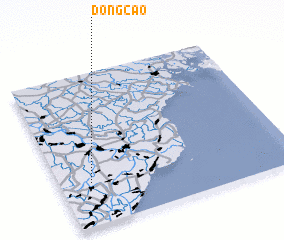 Places with similar names to Ðông Cao, Vietnam ::
Disclaimer :: Information on this page comes without warranty of any kind |
||
|
Where is Ðông Cao? Elevation and coordinates ::
Latitude (lat): 20°17'0"N Longitude (lon): 106°8'0"E
Elevation (approx.): 6m (map arrows pan, magnifying glasses zoom) |
||
|
Visiting Ðông Cao? Hotel/Accommodation ::
Book a hotel in Ðông Cao Travel Guide ::
Buy a travel guide for Vietnam rental cars ::
car rental offers GPS waypoint ::
download a GPX waypoint (PoI) of Ðông Cao for your GPS receiver
|
||