|
search place name
|
||
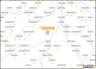
Nà Ðong (Cao Bằng, Vietnam)Nà Ðong is a town in the Cao Bằng region of Vietnam. An overview map of the region around Nà Ðong is displayed below.
regional and 3d topo map of Nà Ðong, Vietnam ::
Nà Ðong airports ::
The nearest airport is HAN - Hanoi Noibai Intl, located 150.4 km south of Nà Ðong.
Other airports nearby include NNG - Nanning Wuxu (204.7 km east), Nearby towns ::
Bốc Thượng (2.5km north west) //
Na Linh (2.5km north west) //
Na Ké (3.7km south) //
Na Mou (1) (5.6km south) //
Khuôi Min (6.5km north west) //
Nà Cốc (6.3km north east) //
Kouôi Pet (6.3km north west) //
Nam Tan (6.5km south east) //
Noi Tiem (7.4km south) //
Tsenh Phòng (6.8km west) //
Na Chía (6.8km east) //
Vò Chang (7.4km north) //
Pac Boc (7.6km south) //
Khan Xá (7.1km east) //
Pac Soa (7.6km north east) //
Keo Ngsàng (7.8km north east) //
Khuôi Chò (8.8km north west) //
Kouei Dao (10.1km north west) //
Khuổi Giền (10.1km north east) //
[all distances 'as the bird flies' and approximate] 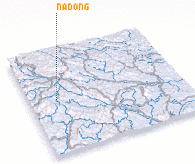 Places with similar names to Nà Ðong, Vietnam ::
Disclaimer :: Information on this page comes without warranty of any kind |
||
|
Where is Nà Ðong? Elevation and coordinates ::
Latitude (lat): 22°32'0"N Longitude (lon): 106°11'0"E
Elevation (approx.): 309m (map arrows pan, magnifying glasses zoom) |
||
|
Visiting Nà Ðong? Hotel/Accommodation ::
Book a hotel in Nà Ðong Travel Guide ::
Buy a travel guide for Vietnam rental cars ::
car rental offers GPS waypoint ::
download a GPX waypoint (PoI) of Nà Ðong for your GPS receiver
|
||