|
search place name
|
||
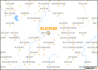
Plei Piơm (Vietnam)Plei Piơm is a town in Vietnam. An overview map of the region around Plei Piơm is displayed below.
regional and 3d topo map of Plei Piơm, Vietnam ::
Plei Piơm airports ::
The nearest airport is NHA - Nhatrang, located 226.6 km south east of Plei Piơm.
Nearby towns ::
Plei Klok (1.8km west) //
An Mỹ (1.8km west) //
Plei Tươh Klah (2.6km south east) //
Plei Boi Kotu (2.6km south east) //
Plei Hơdok (3.7km south) //
Lệ Trung (3.6km east) //
Plei Brẽl Dôr (4.1km south east) //
Plei Groi (4.1km south east) //
Phú Thọ (1) (4.0km south west) //
Plei Wau (5.2km south west) //
Plei Chuêt (5.7km west) //
Plei Ơluk (5.7km east) //
Plei Dok Kong (5.8km south) //
Plei Chup (6.6km north west) //
Plei Hol (6.6km north west) //
Plei Bia Tih (6.6km south west) //
Plei Rôe (6.5km north east) //
Plei Oluk Tur (7.2km east) //
Plei Oluk Prong (7.4km east) //
Plei Goai Ngol (7.6km south) //
Plei Chôp Nhiu (7.6km south) //
Plei Rưng Khưng (7.4km east) //
Plei Rông Dup (7.7km north west) //
Plei Blo (8.2km south west) //
Plei Ngoll (8.2km north east) //
Plei Hêt (9.2km south west) //
Plei Châm Rơngol (10.3km south west) //
[all distances 'as the bird flies' and approximate] 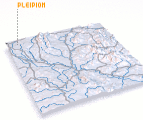 Places with similar names to Plei Piơm, Vietnam ::
Disclaimer :: Information on this page comes without warranty of any kind |
||
|
Where is Plei Piơm? Elevation and coordinates ::
Latitude (lat): 13°59'0"N Longitude (lon): 108°7'0"E
Elevation (approx.): 710m (map arrows pan, magnifying glasses zoom) |
||
|
Visiting Plei Piơm? Hotel/Accommodation ::
Book a hotel in Plei Piơm Travel Guide ::
Buy a travel guide for Vietnam rental cars ::
car rental offers GPS waypoint ::
download a GPX waypoint (PoI) of Plei Piơm for your GPS receiver
|
||