|
search place name
|
||
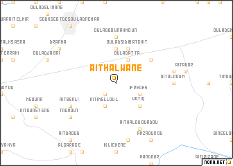
Aït Halwane (Beni Mellal, Morocco)Aït Halwane is a town in the Beni Mellal region of Morocco. An overview map of the region around Aït Halwane is displayed below.
regional and 3d topo map of Aït Halwane, Morocco ::
Aït Halwane airports ::
The nearest airport is OZZ - Ouarzazate, located 144.1 km south of Aït Halwane.
Other airports nearby include RAK - Marrakech Menara (148.9 km south west), CMN - Casablanca Mohammed V Intl (155.9 km north west), RBA - Rabat Sale (203.8 km north), MEK - Meknes Bassatine (211.9 km north east), Nearby towns ::
Taourirt (2.4km south west) //
Oulad Atta (4.0km north east) //
Ifreghs (3.6km south east) //
Aït Imelloul (4.0km south west) //
Waʼtiq (4.9km south east) //
Oulad Belrit (5.6km north) //
Oulad Sidi Batghit (5.8km north) //
Oulad Salem (6.0km north east) //
Oulad Bou Rahmoun (7.4km north) //
Aït Halou Ou Adou (8.0km south east) //
Aït Berli (7.3km south west) //
Aït Beghli (7.3km south west) //
Tagmout (8.4km south west) //
[all distances 'as the bird flies' and approximate] 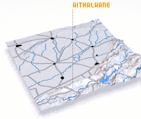 Places with similar names to Aït Halwane, Morocco :: Disclaimer :: Information on this page comes without warranty of any kind |
||
|
Where is Aït Halwane? Elevation and coordinates ::
Latitude (lat): 32°13'0"N Longitude (lon): 6°38'0"W
Elevation (approx.): 518m (map arrows pan, magnifying glasses zoom) |
||
|
Visiting Aït Halwane? Hotel/Accommodation ::
Book a hotel in Aït Halwane Travel Guide ::
Buy a travel guide for Morocco rental cars ::
car rental offers GPS waypoint ::
download a GPX waypoint (PoI) of Aït Halwane for your GPS receiver
|
||