|
search place name
|
||
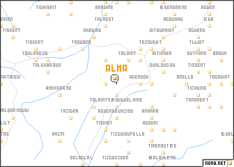
Alma (Marrakech, Morocco)Alma is a town in the Marrakech region of Morocco. An overview map of the region around Alma is displayed below.
regional and 3d topo map of Alma, Morocco ::
Alma airports ::
The nearest airport is AGA - Agadir Inezgane, located 93.2 km south west of Alma.
Other airports nearby include RAK - Marrakech Menara (108.2 km north east), Nearby towns ::
Aït Allah (1.9km south) //
Tagoumal (1.9km south) //
Imziln (1.6km west) //
Agendoh (3.2km east) //
Talaïnt nʼImouguelmine (3.7km south) //
Talaïnt (4.0km north east) //
Oumissene (4.0km north west) //
Tettirine (4.9km north east) //
Izritene (4.9km north east) //
Tagadirt nʼ Troumit (4.9km south west) //
Aguerd Oumziou (5.6km south) //
Tamsa (4.8km east) //
Tassoukt (6.4km north east) //
Ouandrir (6.0km south east) //
Ben Takemoust (6.4km south west) //
Oualougou (6.6km east) //
Tiskhit (7.6km south) //
Taouara (7.3km north west) //
Tazought (7.3km north east) //
Anamra (7.3km south east) //
Aït Irmer (7.4km north east) //
Amadine (8.1km north west) //
Taourirt (8.4km north east) //
Arhbalou (8.4km north east) //
Agouni (8.8km south east) //
Tazidra (8.4km south west) //
Aït Ourhiat (9.8km north east) //
Akhferga (9.8km south east) //
[all distances 'as the bird flies' and approximate] 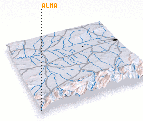 Places with similar names to Alma, Morocco ::
Disclaimer :: Information on this page comes without warranty of any kind |
||
|
Where is Alma? Elevation and coordinates ::
Latitude (lat): 31°4'0"N Longitude (lon): 8°59'0"W
Elevation (approx.): 1336m (map arrows pan, magnifying glasses zoom) |
||
|
Visiting Alma? Hotel/Accommodation ::
Book a hotel in Alma Travel Guide ::
Buy a travel guide for Morocco rental cars ::
car rental offers GPS waypoint ::
download a GPX waypoint (PoI) of Alma for your GPS receiver
|
||