|
search place name
|
||
Bab el Heït (Taounate, Morocco)Bab el Heït is a town in the Taounate region of Morocco. An overview map of the region around Bab el Heït is displayed below.
regional and 3d topo map of Bab el Heït, Morocco ::

Bab el Heït airports ::
The nearest airport is AHU - Al Hociema Cherif El Idrissi, located 77.4 km north east of Bab el Heït.
Other airports nearby include FEZ - Fez Saiss (96.9 km south west), TTU - Tetouan Saniat Rmel (131.8 km north west), MEK - Meknes Bassatine (133.7 km south west), MLN - Melilla (149.7 km north east), Nearby towns ::
Beni Ayach (1.9km north) //
Tembouzid (2.4km north west) //
Laïoun (2.4km north east) //
Mechcherouane (3.6km north east) //
Ras ed Dar (3.6km south east) //
El Aroussa (3.6km south east) //
Lemdaouad (4.8km north west) //
Sidi Mekhlouf (4.8km south west) //
Oulad Zouaoua (5.6km south) //
Amzir (5.6km north) //
Alouane (5.8km north) //
Aïn Mansour (5.8km south) //
Oulad Meddane (4.9km east) //
Aïchtoum (5.9km south west) //
Jemaa Adlem (6.1km east) //
Bab Selham (6.1km east) //
Outil (7.6km north) //
Ikrarene (7.6km north) //
Beni Oulid (7.6km south) //
Khendek es Slia (8.0km north) //
Ouled Youb (8.0km south) //
Asmel (8.3km south west) //
Hammata (8.7km south east) //
Dlimet (9.6km south west) //
[all distances 'as the bird flies' and approximate] 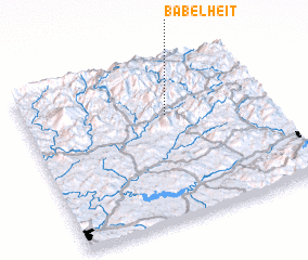 Places with similar names to Bab el Heït, Morocco ::
// Bab el Had (MA)
Disclaimer :: Information on this page comes without warranty of any kind |
||
|
Where is Bab el Heït? Elevation and coordinates ::
Latitude (lat): 34°40'0"N Longitude (lon): 4°25'0"W
Elevation (approx.): 996m (map arrows pan, magnifying glasses zoom) |
||
|
Visiting Bab el Heït? Hotel/Accommodation ::
Book a hotel in Bab el Heït Travel Guide ::
Buy a travel guide for Morocco rental cars ::
car rental offers GPS waypoint ::
download a GPX waypoint (PoI) of Bab el Heït for your GPS receiver
|
||