|
search place name
|
||
El Msaada (Oujda, Morocco)El Msaada is a town in the Oujda region of Morocco. An overview map of the region around El Msaada is displayed below.
regional and 3d topo map of El Msaada, Morocco ::

El Msaada airports ::
The nearest airport is OUD - Oujda Angads, located 51.9 km south east of El Msaada.
Other airports nearby include MLN - Melilla (57.8 km north west), TLM - Tlemcen Zenata (84.4 km east), AHU - Al Hociema Cherif El Idrissi (134.2 km west), ORN - Oran Es Senia (170.4 km east), Nearby towns ::
Mechra Keïloul (1.0km north east) //
Charaba (4.4km north east) //
Hamri (6.8km south) //
Mehdia (7.2km south west) //
Abd el Kader Sadia (7.6km north west) //
El Borj (7.9km north west) //
Madagh (8.4km south) //
Mahdia (8.0km south west) //
Tarourt Lalla Soueka (8.5km north west) //
Beni Oukil (9.7km south west) //
Oulad Zenati (11.1km south east) //
[all distances 'as the bird flies' and approximate] 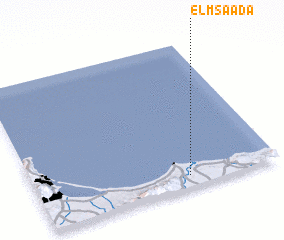 Places with similar names to El Msaada, Morocco ::
// El Maïzat (MA)
// El Mestoui (MA)
// Elm City (US)
// El Mozote (SV)
// El Mased (SD)
// El Mouissat (MA)
// El Mouisset (MA)
// El Messadia (MA)
// Elmside (US)
Disclaimer :: Information on this page comes without warranty of any kind |
||
|
Where is El Msaada? Elevation and coordinates ::
Latitude (lat): 35°4'32"N Longitude (lon): 2°22'19"W
Elevation (approx.): 64m (map arrows pan, magnifying glasses zoom) |
||
|
Visiting El Msaada? Hotel/Accommodation ::
Book a hotel in El Msaada Travel Guide ::
Buy a travel guide for Morocco rental cars ::
car rental offers GPS waypoint ::
download a GPX waypoint (PoI) of El Msaada for your GPS receiver
|
||