|
search place name
|
||
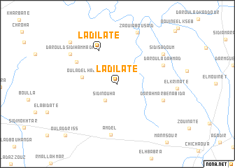
Ladilate (Safi, Morocco)Ladilate is a town in the Safi region of Morocco. An overview map of the region around Ladilate is displayed below.
regional and 3d topo map of Ladilate, Morocco ::
Ladilate airports ::
The nearest airport is RAK - Marrakech Menara, located 80.4 km east of Ladilate.
Other airports nearby include AGA - Agadir Inezgane (153.3 km south west), OZZ - Ouarzazate (203.3 km east), CMN - Casablanca Mohammed V Intl (226.8 km north east), Nearby towns ::
Sidi Nouha (3.1km south west) //
Oulad el Haj (4.9km west) //
Ladilate (5.9km north west) //
El Ahsinate (6.5km north west) //
Dar Ahmar Ben Abida (6.8km south east) //
Dar Oulad Ahmad (6.9km north east) //
Amdel (8.1km south) //
Sidi Sadoum (7.8km north east) //
Zaouia Bou Saïd (8.6km north) //
Dar Ould Sidi Hammadi (8.0km north west) //
Dar nʼta el Mâadi (9.2km north west) //
Oulad Driss (10.8km south west) //
[all distances 'as the bird flies' and approximate] 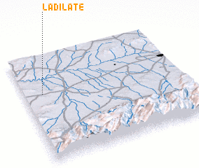 Places with similar names to Ladilate, Morocco ::
// Lato-Lato (PH)
// Lidlida (PH)
// Lidlidda (PH)
// Litlit (PH)
// Litlit (PH)
// Lodlod (PH)
// Lutawlutaw (PH)
// La Delta (US)
// Little Doe (US)
// Lota Alto (CL)
Disclaimer :: Information on this page comes without warranty of any kind |
||
|
Where is Ladilate? Elevation and coordinates ::
Latitude (lat): 31°38'26"N Longitude (lon): 8°52'57"W
Elevation (approx.): 286m (map arrows pan, magnifying glasses zoom) |
||
|
Visiting Ladilate? Hotel/Accommodation ::
Book a hotel in Ladilate Travel Guide ::
Buy a travel guide for Morocco rental cars ::
car rental offers GPS waypoint ::
download a GPX waypoint (PoI) of Ladilate for your GPS receiver
|
||