|
search place name
|
||
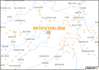
Antatet-Kalinga (Isabela, Philippines)Antatet-Kalinga is a town in the Isabela region of Philippines. An overview map of the region around Antatet-Kalinga is displayed below.
regional and 3d topo map of Antatet-Kalinga, Philippines ::
Antatet-Kalinga airports ::
The nearest airport is BAG - Baguio, located 136.5 km south west of Antatet-Kalinga.
Nearby towns ::
Concepcion (0.0km north) //
Luyao (0.0km north) //
Santor (0.0km north) //
Mambabanga (0.0km north) //
Purok (0.0km north) //
Macañao (0.8km south) //
Santor (1.2km north west) //
Luna (1.2km south) //
Lalog (1.6km north west) //
Cutug (1.9km north) //
Magat (2.6km north west) //
Reina Mercedes Viejo (4.0km north east) //
Dalig Cristiano (5.1km north west) //
Calabasa (5.1km north west) //
Dalig Kalinga (5.1km north west) //
Bannagao (5.1km north west) //
Panicien (5.1km north west) //
Camutog (5.1km north west) //
Caonayan (5.1km south east) //
Tagaran (5.1km south east) //
San Luis (5.4km north) //
Diamantina (5.3km west) //
Villa-Comillas (5.6km north) //
Nappaccu Pequeño (5.6km east) //
Dalig (6.0km north) //
Hacienda Viola (6.0km north) //
Bagnos (6.1km north west) //
Mabantad (6.2km south east) //
Marung (6.5km south east) //
[all distances 'as the bird flies' and approximate] 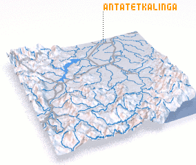 Places with similar names to Antatet-Kalinga, Philippines :: Disclaimer :: Information on this page comes without warranty of any kind |
||
|
Where is Antatet-Kalinga? Elevation and coordinates ::
Latitude (lat): 16°59'0"N Longitude (lon): 121°44'0"E
Elevation (approx.): 48m (map arrows pan, magnifying glasses zoom) |
||
|
Visiting Antatet-Kalinga? Hotel/Accommodation ::
Book a hotel in Antatet-Kalinga Travel Guide ::
Buy a travel guide for Philippines rental cars ::
car rental offers GPS waypoint ::
download a GPX waypoint (PoI) of Antatet-Kalinga for your GPS receiver
|
||