|
search place name
|
||
Dulolog (La Union, Philippines)Dulolog is a town in the La Union region of Philippines. An overview map of the region around Dulolog is displayed below.
regional and 3d topo map of Dulolog, Philippines ::

Dulolog airports ::
The nearest airport is BAG - Baguio, located 52.0 km south east of Dulolog.
Nearby towns ::
Mabanengbeng First (0.0km north) //
Buriri (0.0km north) //
Santa Cruz (0.9km east) //
Ubbog (1.3km north east) //
Galongen (1.7km south west) //
Carcarmay (1.9km north) //
Bunga (1.9km north) //
Paagan (1.9km north) //
Maragayap West (1.8km west) //
Calungan (1.8km west) //
Mabanengbeng Second (2.6km north east) //
Cabarsican (2.6km south west) //
Tammocalao (2.6km south west) //
Bitalag (2.6km south east) //
Santa Isabel (3.7km north) //
Nagallaoat (3.7km north) //
Napaset (3.5km east) //
Bulala (3.7km south) //
Pandan (3.7km south) //
Santa Rita (3.8km south east) //
Cabaroan (3.9km south east) //
Cabalitocan (4.0km north) //
Apatot (3.9km north east) //
Calautit (4.0km south east) //
Bacqui (4.0km south east) //
Guinabang (4.0km south east) //
Agtipal (4.1km south east) //
Bacnotan (4.9km south) //
Ayaoan (5.2km north) //
[all distances 'as the bird flies' and approximate] 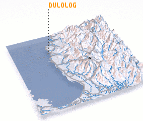 Places with similar names to Dulolog, Philippines ::
// Taalalaakh (RU)
// Tlaylukh (RU)
// Dalolac (PH)
// Tulelake (US)
// Tililag (EC)
// Tlalica (MX)
// Dalelke (PK)
// Dalelke (PK)
// Tullyleague (IE)
// Deleleka (MW)
Disclaimer :: Information on this page comes without warranty of any kind |
||
|
Where is Dulolog? Elevation and coordinates ::
Latitude (lat): 16°46'0"N Longitude (lon): 120°21'0"E
Elevation (approx.): 5m (map arrows pan, magnifying glasses zoom) |
||
|
Visiting Dulolog? Hotel/Accommodation ::
Book a hotel in Dulolog Travel Guide ::
Buy a travel guide for Philippines rental cars ::
car rental offers GPS waypoint ::
download a GPX waypoint (PoI) of Dulolog for your GPS receiver
|
||