|
search place name
|
||
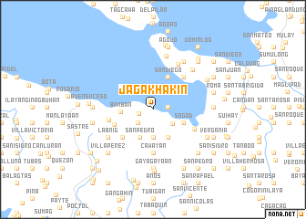
Jagakhakin (Quezon, Philippines)Jagakhakin is a town in the Quezon region of Philippines. An overview map of the region around Jagakhakin is displayed below.
regional and 3d topo map of Jagakhakin, Philippines ::
Jagakhakin airports ::
The nearest airport is MNL - Manila Ninoy Aquino Intl, located 141.8 km north west of Jagakhakin.
Nearby towns ::
Camuhaguin (1.7km west) //
Binangbang (1.8km east) //
Tumayan (2.4km south west) //
San Vicente (2.9km south east) //
San Diego (3.5km south) //
San Pedro (3.8km south west) //
General Luna (3.9km south east) //
Bamban (3.9km west) //
Mal-ay (3.9km south east) //
Sogod (3.9km south east) //
San Diego (4.3km north east) //
Malabtog (5.0km south west) //
San Fernando (5.0km west) //
Cawayan (5.3km south) //
Panlillo (5.3km north east) //
Panikihan (5.4km west) //
Pansol (5.5km south east) //
Santa Maria (6.2km north east) //
Labnig (6.4km south west) //
Guitis (6.7km north) //
Lourdes (6.8km north east) //
Balibago (6.8km north east) //
Gayagayaan (7.2km south) //
Villapadua (7.2km west) //
Santa Lucia (7.2km east) //
San Jose (7.2km east) //
Bagacay (7.2km east) //
San Luis (7.2km east) //
Calantipayan (7.3km south east) //
[all distances 'as the bird flies' and approximate] 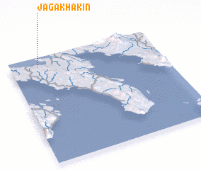 Places with similar names to Jagakhakin, Philippines :: Disclaimer :: Information on this page comes without warranty of any kind |
||
|
Where is Jagakhakin? Elevation and coordinates ::
Latitude (lat): 13°54'52"N Longitude (lon): 122°11'0"E
Elevation (approx.): 6m (map arrows pan, magnifying glasses zoom) |
||
|
Visiting Jagakhakin? Hotel/Accommodation ::
Book a hotel in Jagakhakin Travel Guide ::
Buy a travel guide for Philippines rental cars ::
car rental offers GPS waypoint ::
download a GPX waypoint (PoI) of Jagakhakin for your GPS receiver
|
||