|
search place name
|
||
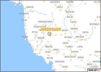
Jamorawon (Sorsogon, Philippines)Jamorawon is a town in the Sorsogon region of Philippines. An overview map of the region around Jamorawon is displayed below.
regional and 3d topo map of Jamorawon, Philippines ::
Jamorawon airports ::
The nearest airport is TAC - Tacloban Daniel Z Romualdez, located 203.0 km south east of Jamorawon.
Other airports nearby include KLO - Kalibo (204.4 km south west), ILO - Iloilo (268.0 km south west), Nearby towns ::
Lanipga (1.8km east) //
San Juan Daan (2.2km south west) //
Sabang (2.3km north) //
Matutuyan (2.3km north) //
Bical (2.9km north east) //
Guruyan (3.0km north) //
Matarais (3.3km south) //
San Francisco (3.2km north west) //
Gabao (3.6km north east) //
San Juan (3.8km south west) //
Beguin (3.8km south west) //
Bulauan (3.8km east) //
Pinagnomhan (4.3km north west) //
Dolos (4.5km north east) //
Palate (4.5km north west) //
Pinamangonan (4.5km north west) //
Bognog (5.0km south) //
Oyango (5.3km west) //
Moring (5.4km east) //
Biyul (5.5km west) //
Calomagon (5.6km west) //
Fabrica (6.1km south west) //
San Juan Bag-o (6.1km south west) //
Gate (6.5km south east) //
Pawic (6.6km south) //
Casini (6.6km south east) //
Batang (6.8km east) //
Lapinig (6.8km north west) //
Otavi (7.1km south) //
[all distances 'as the bird flies' and approximate] 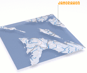 Places with similar names to Jamorawon, Philippines ::
// Jamorawon (PH)
Disclaimer :: Information on this page comes without warranty of any kind |
||
|
Where is Jamorawon? Elevation and coordinates ::
Latitude (lat): 12°42'46"N Longitude (lon): 123°56'1"E
Elevation (approx.): 47m (map arrows pan, magnifying glasses zoom) |
||
|
Visiting Jamorawon? Hotel/Accommodation ::
Book a hotel in Jamorawon Travel Guide ::
Buy a travel guide for Philippines rental cars ::
car rental offers GPS waypoint ::
download a GPX waypoint (PoI) of Jamorawon for your GPS receiver
|
||