|
search place name
|
||
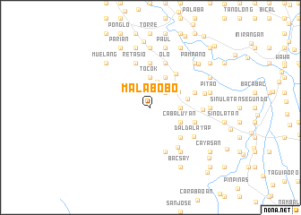
Malabobo (Pangasinan, Philippines)Malabobo is a town in the Pangasinan region of Philippines. An overview map of the region around Malabobo is displayed below.
regional and 3d topo map of Malabobo, Philippines ::
Malabobo airports ::
The nearest airport is BAG - Baguio, located 80.5 km north east of Malabobo.
Other airports nearby include MNL - Manila Ninoy Aquino Intl (154.4 km south east), Nearby towns ::
Batacon (2.6km north east) //
Suaco (3.3km north) //
Tocok (3.7km north) //
Tagac (3.7km north) //
Baracbac (3.6km east) //
Casilagan (3.9km north east) //
Bogtong (4.1km north east) //
Taquipan (4.1km north east) //
Capaoan (4.1km north east) //
Cabaluyan (4.0km south east) //
Takipan (4.6km east) //
Balloc (5.1km south east) //
Bunao (5.2km north east) //
Naguilayan (5.6km north) //
Nancasalan (5.7km east) //
Macarang (5.7km east) //
Cabayugan (5.7km east) //
Casipo (5.7km east) //
Macarang (5.7km east) //
Cacaoiten (5.8km south) //
Olo (5.8km north) //
Caturay (5.8km north) //
Retasio (5.8km north) //
Cabaruan (5.8km north) //
Maasin (6.0km south east) //
Daldalayap (6.4km south east) //
San Clemente (6.3km east) //
Bamban (6.6km south east) //
Andañgin (6.7km east) //
[all distances 'as the bird flies' and approximate] 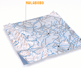 Places with similar names to Malabobo, Philippines ::
// Malý Báb (SK)
Disclaimer :: Information on this page comes without warranty of any kind |
||
|
Where is Malabobo? Elevation and coordinates ::
Latitude (lat): 15°43'0"N Longitude (lon): 120°18'0"E
Elevation (approx.): 147m (map arrows pan, magnifying glasses zoom) |
||
|
Visiting Malabobo? Hotel/Accommodation ::
Book a hotel in Malabobo Travel Guide ::
Buy a travel guide for Philippines rental cars ::
car rental offers GPS waypoint ::
download a GPX waypoint (PoI) of Malabobo for your GPS receiver
|
||