|
search place name
|
||
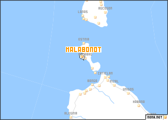
Malabonot (Aklan, Philippines)Malabonot is a town in the Aklan region of Philippines. An overview map of the region around Malabonot is displayed below.
regional and 3d topo map of Malabonot, Philippines ::
Malabonot airports ::
The nearest airport is KLO - Kalibo, located 59.3 km south east of Malabonot.
Other airports nearby include SJI - San Jose Antique (132.8 km south), ILO - Iloilo (154.7 km south east), BCD - Bacolod (183.5 km south east), Nearby towns ::
Balabag (0.5km north east) //
Borocay (2.6km south east) //
Estria (3.7km north) //
Manoc Manoc (3.7km south east) //
Banga (5.8km south) //
Caticlan (6.0km south east) //
Salong (6.6km south) //
Cabangusan (6.6km south east) //
Argao (6.7km south east) //
Cabulihan (6.9km south) //
Union (6.9km south east) //
Panang (7.4km south) //
Malay (7.7km south) //
Rizal (8.6km south east) //
Pinamihagan (8.8km north) //
[all distances 'as the bird flies' and approximate] 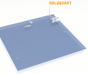 Places with similar names to Malabonot, Philippines ::
// Malibanda (BD)
// Mlabanda (KM)
// Māla Bānda (PK)
// Mulla Bānda (PK)
// Mullāh Bānda (PK)
// Miulebundu (PG)
// Mulla Bānda (PK)
// Mūli Bānda (PK)
// Mal Bāndi (PK)
Disclaimer :: Information on this page comes without warranty of any kind |
||
|
Where is Malabonot? Elevation and coordinates ::
Latitude (lat): 11°58'0"N Longitude (lon): 121°55'0"E
Elevation (approx.): -32768m (map arrows pan, magnifying glasses zoom) |
||
|
Visiting Malabonot? Hotel/Accommodation ::
Book a hotel in Malabonot Travel Guide ::
Buy a travel guide for Philippines rental cars ::
car rental offers GPS waypoint ::
download a GPX waypoint (PoI) of Malabonot for your GPS receiver
|
||