|
search place name
|
||
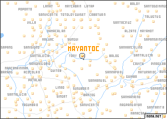
Mayantoc (Nueva Ecija, Philippines)Mayantoc is a town in the Nueva Ecija region of Philippines. An overview map of the region around Mayantoc is displayed below.
regional and 3d topo map of Mayantoc, Philippines ::
Mayantoc airports ::
The nearest airport is BAG - Baguio, located 74.7 km north of Mayantoc.
Other airports nearby include MNL - Manila Ninoy Aquino Intl (137.3 km south), Nearby towns ::
Recuerdo (1.4km east) //
Escaño (1.8km south east) //
Medico (2.1km south) //
Pao Primero (2.1km south) //
Alemania (2.1km north east) //
Tony (2.2km west) //
Toledo (4.0km south west) //
Surgui (4.1km north west) //
Corral Iloco (4.5km south west) //
San Agustin (4.5km south east) //
San Carlos (4.7km north east) //
Sangcagulis (4.7km north east) //
Camacilian (4.7km north east) //
Nagmisahan (4.7km north east) //
Nampicuan (4.8km north west) //
San Antonio (4.9km north east) //
Santa Clara (4.9km east) //
Balbinit (5.0km east) //
Katigan (5.0km east) //
San Alberto (5.0km east) //
Ramos (5.2km south west) //
Monic (5.2km north west) //
Maeling (5.2km north west) //
Pance (5.3km west) //
San Raymundo (5.6km south west) //
Anao (5.6km north west) //
Bibiclat (5.9km north east) //
San Francisco (5.8km east) //
San Jose (5.9km west) //
[all distances 'as the bird flies' and approximate] 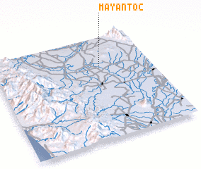 Places with similar names to Mayantoc, Philippines ::
Disclaimer :: Information on this page comes without warranty of any kind |
||
|
Where is Mayantoc? Elevation and coordinates ::
Latitude (lat): 15°42'8"N Longitude (lon): 120°40'12"E
Elevation (approx.): 25m (map arrows pan, magnifying glasses zoom) |
||
|
Visiting Mayantoc? Hotel/Accommodation ::
Book a hotel in Mayantoc Travel Guide ::
Buy a travel guide for Philippines rental cars ::
car rental offers GPS waypoint ::
download a GPX waypoint (PoI) of Mayantoc for your GPS receiver
|
||