|
search place name
|
||
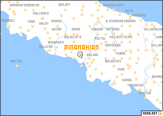
Pinamahian (Quezon, Philippines)Pinamahian is a town in the Quezon region of Philippines. An overview map of the region around Pinamahian is displayed below.
regional and 3d topo map of Pinamahian, Philippines ::
Pinamahian airports ::
The nearest airport is MNL - Manila Ninoy Aquino Intl, located 125.6 km north west of Pinamahian.
Nearby towns ::
Unisan (1.7km south east) //
Pag-aguasan (1.8km east) //
Cabulihan (1.9km south) //
Ibabang Calilayan (1.8km west) //
Bulo Ibaba (2.0km north) //
Balanacan (2.4km south east) //
San Roque (2.6km south east) //
Mojon Primero (2.6km north east) //
Malvar (2.7km east) //
Binagbag (2.8km north west) //
Panaon-Ibaba (3.6km north east) //
Almacen (3.6km north east) //
Kalilayan Ibaba (3.7km west) //
Muliguin (4.0km south east) //
Bolo Ilaya (4.1km north west) //
Sildora (4.3km north west) //
Punta (4.5km south east) //
General Luna (5.4km east) //
Caigdal (5.4km east) //
Miras (5.6km north) //
Poctol (5.5km north east) //
Plaridel (5.7km east) //
Mairok (5.8km north) //
Burgos (5.8km north) //
Maputat (5.8km south east) //
Agdangan (6.1km north west) //
Poctol (6.5km north east) //
Tubigan (6.6km north east) //
Lanao (6.6km north east) //
[all distances 'as the bird flies' and approximate] 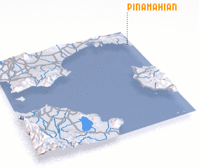 Places with similar names to Pinamahian, Philippines :: Disclaimer :: Information on this page comes without warranty of any kind |
||
|
Where is Pinamahian? Elevation and coordinates ::
Latitude (lat): 13°51'0"N Longitude (lon): 121°58'0"E
Elevation (approx.): 32m (map arrows pan, magnifying glasses zoom) |
||
|
Visiting Pinamahian? Hotel/Accommodation ::
Book a hotel in Pinamahian Travel Guide ::
Buy a travel guide for Philippines rental cars ::
car rental offers GPS waypoint ::
download a GPX waypoint (PoI) of Pinamahian for your GPS receiver
|
||