|
search place name
|
||
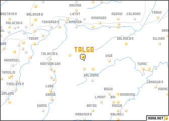
Talgo (Kalinga-Apayao, Philippines)Talgo is a town in the Kalinga-Apayao region of Philippines. An overview map of the region around Talgo is displayed below.
regional and 3d topo map of Talgo, Philippines ::
Talgo airports ::
The nearest airport is BAG - Baguio, located 128.5 km south west of Talgo.
Nearby towns ::
Madanao (1.9km south) //
Pañgol (2.6km south east) //
Magmet (3.4km west) //
Palinang (4.7km south) //
Viga (5.3km east) //
Anggakan (6.9km west) //
Mantopngan (7.3km west) //
Amlao (7.6km north) //
Leuleu (7.6km north) //
Minanga (7.6km north) //
Talaktok (7.4km west) //
Tanudan (7.8km south west) //
Licutan (8.0km south west) //
Kanapaan (8.0km south west) //
Awingan (8.0km south west) //
Mangali (8.0km south west) //
Bail (8.0km south west) //
Guilguila (8.0km south west) //
Pinangan (8.9km north) //
Bogui (9.1km south east) //
Dalimano (9.1km north east) //
Dupag (9.1km north west) //
Naneng (9.5km north west) //
Lubo (9.9km south west) //
Bacari (10.2km south east) //
Balawag (10.2km north east) //
Tomiangan (10.2km north west) //
Bontoc Colony (10.8km north east) //
Gaang (11.1km south west) //
[all distances 'as the bird flies' and approximate] 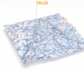 Places with similar names to Talgo, Philippines ::
Disclaimer :: Information on this page comes without warranty of any kind |
||
|
Where is Talgo? Elevation and coordinates ::
Latitude (lat): 17°20'0"N Longitude (lon): 121°18'0"E
Elevation (approx.): 416m (map arrows pan, magnifying glasses zoom) |
||
|
Visiting Talgo? Hotel/Accommodation ::
Book a hotel in Talgo Travel Guide ::
Buy a travel guide for Philippines rental cars ::
car rental offers GPS waypoint ::
download a GPX waypoint (PoI) of Talgo for your GPS receiver
|
||