|
search place name
|
||
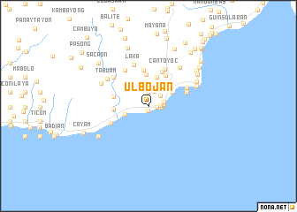
Ulbojan (Bohol, Philippines)Ulbojan is a town in the Bohol region of Philippines. An overview map of the region around Ulbojan is displayed below.
regional and 3d topo map of Ulbojan, Philippines ::
Ulbojan airports ::
The nearest airport is NOP - Masbate Mactan Cebu Intl, located 84.3 km north west of Ulbojan.
Other airports nearby include DGT - Dumaguete (118.9 km west), CGY - Ladag Cagayan De Oro (138.1 km south), BCD - Bacolod (190.6 km north west), TAC - Tacloban Daniel Z Romualdez (191.6 km north east), Nearby towns ::
Canuba (0.6km south) //
Odiong (1.1km east) //
Ipil (1.4km east) //
Faraon (1.6km north) //
Canupao (1.6km east) //
Bunga Ilaya (1.9km north) //
Looc (2.0km north east) //
Bunga Mar (2.0km east) //
Cantagay (2.0km east) //
Canayaon (3.1km west) //
Pagina (3.4km north east) //
Tubod Monte (3.4km north east) //
Jagna (3.5km north east) //
Malbog (3.7km north) //
Alijauan (3.7km north) //
Balili (4.0km north) //
Antipolo (4.3km west) //
Tejero (4.4km north east) //
Kinagbaan (4.5km north) //
Camun (4.5km west) //
Canjulao (4.6km north) //
Cantoyoc (5.1km north east) //
Pongdan (5.1km east) //
Garcia Hernandez (5.2km south west) //
Siling (5.3km north west) //
Pandan (5.3km north east) //
Laka (5.5km north) //
Kadagul (5.7km north west) //
Tabuan (6.2km north west) //
[all distances 'as the bird flies' and approximate] 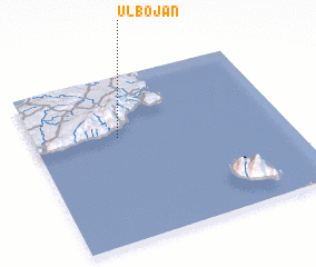 Places with similar names to Ulbojan, Philippines ::
// Ulbujan (PH)
Disclaimer :: Information on this page comes without warranty of any kind |
||
|
Where is Ulbojan? Elevation and coordinates ::
Latitude (lat): 9°38'4"N Longitude (lon): 124°20'24"E
Elevation (approx.): 99m (map arrows pan, magnifying glasses zoom) |
||
|
Visiting Ulbojan? Hotel/Accommodation ::
Book a hotel in Ulbojan Travel Guide ::
Buy a travel guide for Philippines rental cars ::
car rental offers GPS waypoint ::
download a GPX waypoint (PoI) of Ulbojan for your GPS receiver
|
||