|
search place name
|
||
Iwagi (Ehime, Japan)Iwagi is a town in the Ehime region of Japan. An overview map of the region around Iwagi is displayed below.
regional and 3d topo map of Iwagi, Japan ::

Iwagi airports ::
The nearest airport is HIJ - Hiroshima, located 30.7 km north west of Iwagi.
Other airports nearby include MYJ - Matsuyama (61.6 km south west), TAK - Takamatsu (79.8 km east), OKJ - Okayama (86.8 km north east), KCZ - Kochi (90.4 km south east), Nearby towns ::
Matsuhara (3.7km north west) //
Wakayama (3.8km south east) //
Hakata (5.1km south west) //
Kinoura (5.1km south west) //
Shimo-yuge (4.8km east) //
Habu (6.1km north east) //
Innoshima (6.1km north east) //
Mitera (6.1km north west) //
Hikino (5.7km north east) //
Myōga (7.2km north) //
Takuma (7.2km north) //
Kami-yuge (7.0km north east) //
Setoda (9.4km north west) //
[all distances 'as the bird flies' and approximate] 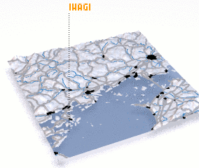
Disclaimer :: Information on this page comes without warranty of any kind |
||
|
Where is Iwagi? Elevation and coordinates ::
Latitude (lat): 34°14'11"N Longitude (lon): 133°9'0"E
Elevation (approx.): -32768m (map arrows pan, magnifying glasses zoom) |
||
|
Visiting Iwagi? Hotel/Accommodation ::
Book a hotel in Iwagi Travel Guide ::
Buy a travel guide for Japan rental cars ::
car rental offers GPS waypoint ::
download a GPX waypoint (PoI) of Iwagi for your GPS receiver
|
||