|
search place name
|
||
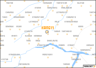
Kangyi (Sagaing, Myanmar)Kangyi is a town in the Sagaing region of Myanmar. An overview map of the region around Kangyi is displayed below.
regional and 3d topo map of Kangyi, Myanmar ::
Kangyi airports ::
The nearest airport is MDL - Mandalay Intl, located 118.7 km east of Kangyi.
Other airports nearby include HEH - Heho (238.5 km south east), AKY - Sittwe (283.8 km south west), Nearby towns ::
Nyaunggon (0.0km north) //
Magyigwa (0.0km north) //
Ywadin (3.4km east) //
Kanbauk (3.9km south west) //
Shwelaung (4.1km south east) //
Nagu (5.1km south west) //
Kokkogon (5.1km north west) //
Palè (5.1km north east) //
Thittaya (5.6km north) //
Kyauktaung (5.8km south) //
Htintamin (5.8km south) //
Kyaungthan (6.5km north west) //
Letpagan (6.4km north west) //
Kyungya (6.9km west) //
Ywathamin (6.9km east) //
Hlawga (7.1km west) //
Zebani (7.6km south east) //
Tanè (7.8km south west) //
Letaunggyi (9.0km north east) //
Sinshin (10.1km north west) //
[all distances 'as the bird flies' and approximate] 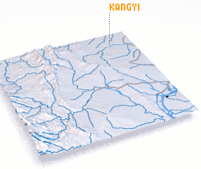 Places with similar names to Kangyi, Myanmar ::
Disclaimer :: Information on this page comes without warranty of any kind |
||
|
Where is Kangyi? Elevation and coordinates ::
Latitude (lat): 21°54'0"N Longitude (lon): 94°51'0"E
Elevation (approx.): 150m (map arrows pan, magnifying glasses zoom) |
||
|
Visiting Kangyi? Hotel/Accommodation ::
Book a hotel in Kangyi Travel Guide ::
Buy a travel guide for Myanmar rental cars ::
car rental offers GPS waypoint ::
download a GPX waypoint (PoI) of Kangyi for your GPS receiver
|
||