|
search place name
|
||
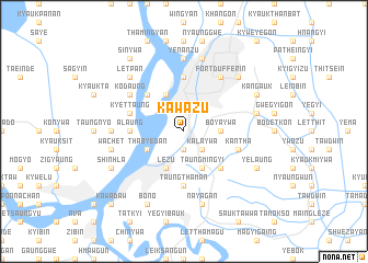
Kawazu (Mandalay, Myanmar)Kawazu is a town in the Mandalay region of Myanmar. An overview map of the region around Kawazu is displayed below.
regional and 3d topo map of Kawazu, Myanmar ::
Kawazu airports ::
The nearest airport is MDL - Mandalay Intl, located 27.2 km south of Kawazu.
Other airports nearby include HEH - Heho (151.4 km south east), LSH - Lashio (208.5 km north east), Nearby towns ::
Shangalegyun (1.9km south) //
Kalaywa (2.5km south east) //
Boyaywa (3.4km east) //
Taungmingyi (4.1km south east) //
Lezu (4.1km south west) //
Amarapura (4.1km south west) //
Thabyedan (3.9km south west) //
Thanbogyun (4.1km north west) //
Tagundaing (5.1km south east) //
Nyaungbintha (5.1km north west) //
Alaung (5.2km west) //
Taungthaman (5.6km south) //
Nwanozu (5.6km south) //
Setyeit (5.6km north) //
Kantha (5.5km east) //
Kyettaung (5.5km west) //
Fort Dufferin (6.5km north east) //
Kodaung (6.4km north west) //
Yenanzu (7.4km north) //
Tandaw (6.9km west) //
Nayagan (7.6km south) //
Myitnge (7.6km south) //
Aungbinle (7.1km east) //
Wachet (7.1km west) //
Mandalay (7.6km north) //
Gyainggyi (7.6km north west) //
Ashebyin (7.6km north east) //
Bugon (7.6km north east) //
Letpan (7.6km north west) //
[all distances 'as the bird flies' and approximate] 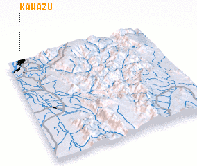 Places with similar names to Kawazu, Myanmar ::
Disclaimer :: Information on this page comes without warranty of any kind |
||
|
Where is Kawazu? Elevation and coordinates ::
Latitude (lat): 21°56'0"N Longitude (lon): 96°4'0"E
Elevation (approx.): 65m (map arrows pan, magnifying glasses zoom) |
||
|
Visiting Kawazu? Hotel/Accommodation ::
Book a hotel in Kawazu Travel Guide ::
Buy a travel guide for Myanmar rental cars ::
car rental offers GPS waypoint ::
download a GPX waypoint (PoI) of Kawazu for your GPS receiver
|
||