|
search place name
|
||
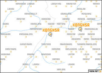
Konghsa (Shan, Myanmar)Konghsa is a town in the Shan region of Myanmar. An overview map of the region around Konghsa is displayed below.
regional and 3d topo map of Konghsa, Myanmar ::
Konghsa airports ::
The nearest airport is LSH - Lashio, located 38.8 km south west of Konghsa.
Other airports nearby include MDL - Mandalay Intl (268.1 km south west), KET - Kengtung (277.4 km south east), Nearby towns ::
Ho-ta (2.5km north west) //
Hsenwi (3.7km north) //
Tangtong (4.1km south west) //
Makhkek (5.0km north east) //
Hsa-tong (5.0km north east) //
Kongpao (5.8km south) //
Möng-yang (5.4km east) //
Namsangsok (5.4km west) //
Hsai-hkao (5.8km north) //
Kawnglang (6.3km north west) //
Nawngsawng (6.3km south east) //
Pang-yap (6.8km east) //
Namhkam (7.1km east) //
Na-mop (7.1km east) //
Nawngsam (7.6km south) //
Nammang (7.6km south) //
Ho-möng (7.5km north east) //
Mu-lwat (7.5km north east) //
Se-u (7.8km north east) //
Mān Loi-sang (8.8km south east) //
Kawnglang (9.0km north east) //
Möng Pang (9.0km south west) //
Namhsim (10.1km south east) //
Loi-top (10.1km south east) //
Mān Nampu-lit (10.1km north west) //
Na-hsaw (10.1km south west) //
[all distances 'as the bird flies' and approximate] 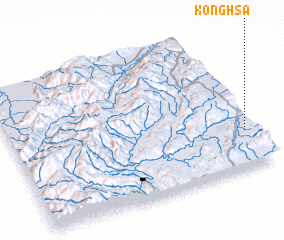 Places with similar names to Konghsa, Myanmar ::
Disclaimer :: Information on this page comes without warranty of any kind |
||
|
Where is Konghsa? Elevation and coordinates ::
Latitude (lat): 23°16'0"N Longitude (lon): 97°58'0"E
Elevation (approx.): 636m (map arrows pan, magnifying glasses zoom) |
||
|
Visiting Konghsa? Hotel/Accommodation ::
Book a hotel in Konghsa Travel Guide ::
Buy a travel guide for Myanmar rental cars ::
car rental offers GPS waypoint ::
download a GPX waypoint (PoI) of Konghsa for your GPS receiver
|
||