|
search place name
|
||
Kongsam (Shan, Myanmar)Kongsam is a town in the Shan region of Myanmar. An overview map of the region around Kongsam is displayed below.
regional and 3d topo map of Kongsam, Myanmar ::

Kongsam airports ::
The nearest airport is HEH - Heho, located 93.7 km west of Kongsam.
Other airports nearby include MOG - Mong Hsat (168.4 km east), MDL - Mandalay Intl (199.7 km north west), KET - Kengtung (208.5 km east), Nearby towns ::
Kongpawn (1.9km north) //
Loi-leng (1.7km west) //
Wān Hkum (1.9km south) //
Tōngmawng (3.7km north) //
Nawngpeng (3.9km south west) //
Nammawhsum (4.1km north east) //
Nansang (3.9km north east) //
Kyè-ek (4.1km south east) //
Wān Pāng (3.9km south east) //
Wān Kat (5.6km south) //
Kongmyeng (5.8km south) //
Wān Pong (6.6km north west) //
Hsai-hkau (7.4km north) //
Honawngpong (7.6km north) //
Kong Yum (7.6km south west) //
Nā-tong (7.6km south west) //
Natongwanun (7.6km south west) //
Konghsem (7.9km south west) //
Nā-pok (9.1km north west) //
Wān Loi-hsai (9.1km south east) //
Pentawng (8.9km north east) //
[all distances 'as the bird flies' and approximate] 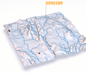 Places with similar names to Kongsam, Myanmar ::
Disclaimer :: Information on this page comes without warranty of any kind |
||
|
Where is Kongsam? Elevation and coordinates ::
Latitude (lat): 20°52'0"N Longitude (lon): 97°41'0"E
Elevation (approx.): 976m (map arrows pan, magnifying glasses zoom) |
||
|
Visiting Kongsam? Hotel/Accommodation ::
Book a hotel in Kongsam Travel Guide ::
Buy a travel guide for Myanmar rental cars ::
car rental offers GPS waypoint ::
download a GPX waypoint (PoI) of Kongsam for your GPS receiver
|
||