|
search place name
|
||
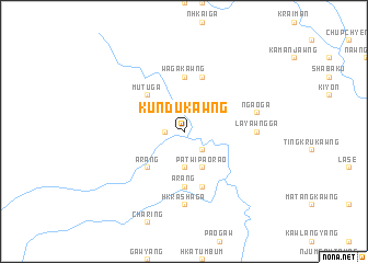
Kundukawng (Kachin State, Myanmar)Kundukawng is a town in the Kachin State region of Myanmar. An overview map of the region around Kundukawng is displayed below.
regional and 3d topo map of Kundukawng, Myanmar ::
Kundukawng airports ::
The nearest airport is MYT - Myitkyina, located 54.8 km south of Kundukawng.
Other airports nearby include PBU - Putao (163.3 km north), Nearby towns ::
Paowi (1.7km west) //
Jum (2.5km north east) //
Lupmatkawng (2.5km south east) //
Paorao (3.7km south) //
Patwi Paorao (4.1km south east) //
Mutu Ga (5.0km north west) //
Arang (5.0km south west) //
Wagakawng (5.6km north) //
Arang (5.6km south) //
Nhkai Ga (5.6km north) //
Nsen (5.8km south) //
Ritpong (5.8km north) //
Hkrashaga (7.4km south) //
Layawng Ga (6.7km east) //
'Ngao Ga (6.9km east) //
[all distances 'as the bird flies' and approximate] 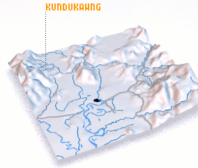 Places with similar names to Kundukawng, Myanmar ::
// Cantucong (PH)
// Kantokong (PH)
// Contignaco (IT)
// Gando Ganga (BJ)
// Kandi-Kunga (CD)
// Koundoukonko (GN)
// Gandaganga (MZ)
// Hkindukawng (MM)
Disclaimer :: Information on this page comes without warranty of any kind |
||
|
Where is Kundukawng? Elevation and coordinates ::
Latitude (lat): 25°52'0"N Longitude (lon): 97°14'0"E
Elevation (approx.): 379m (map arrows pan, magnifying glasses zoom) |
||
|
Visiting Kundukawng? Hotel/Accommodation ::
Book a hotel in Kundukawng Travel Guide ::
Buy a travel guide for Myanmar rental cars ::
car rental offers GPS waypoint ::
download a GPX waypoint (PoI) of Kundukawng for your GPS receiver
|
||