|
search place name
|
||
Laungchaung (Rakhine, Myanmar)Laungchaung is a town in the Rakhine region of Myanmar. An overview map of the region around Laungchaung is displayed below.
regional and 3d topo map of Laungchaung, Myanmar ::

Laungchaung airports ::
The nearest airport is KYP - Kyaukpyu, located 35.9 km west of Laungchaung.
Other airports nearby include SNW - Thandwe (108.5 km south east), AKY - Sittwe (135.5 km north west), Nearby towns ::
Pawazein (1.9km south) //
Lahe (3.7km south) //
Alinchein (5.6km south) //
Tagundaing (5.6km west) //
Myochaung (5.6km west) //
Kyaukkhamauk (6.4km north west) //
Ahtet-bade-kyun (7.4km south) //
Chobyinchein (7.6km south west) //
Ganga (7.6km south west) //
Minchaung (7.9km south west) //
Radana (8.2km north west) //
Paukpyin (9.1km south west) //
Chitponma (10.2km north east) //
[all distances 'as the bird flies' and approximate] 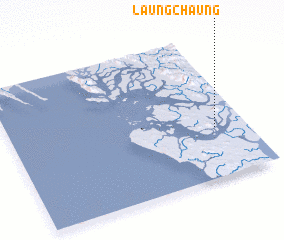 Places with similar names to Laungchaung, Myanmar ::
// Longching (IN)
// Longchong (LA)
// Lung-ching (TW)
// Lung-ching (TW)
// Lung-ch'ang (TW)
// Longsheng (CN)
// Longcheng (CN)
// Longchang (CN)
// Làng Chiêng (VN)
// Làng Chiêng (VN)
Disclaimer :: Information on this page comes without warranty of any kind |
||
|
Where is Laungchaung? Elevation and coordinates ::
Latitude (lat): 19°21'0"N Longitude (lon): 93°52'0"E
Elevation (approx.): -3m (map arrows pan, magnifying glasses zoom) |
||
|
Visiting Laungchaung? Hotel/Accommodation ::
Book a hotel in Laungchaung Travel Guide ::
Buy a travel guide for Myanmar rental cars ::
car rental offers GPS waypoint ::
download a GPX waypoint (PoI) of Laungchaung for your GPS receiver
|
||