|
search place name
|
||
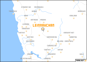
Leinmawchan (Myanmar)Leinmawchan is a town in Myanmar. An overview map of the region around Leinmawchan is displayed below.
regional and 3d topo map of Leinmawchan, Myanmar ::
Leinmawchan airports ::
The nearest airport is RGN - Yangon Intl, located 231.1 km north west of Leinmawchan.
Nearby towns ::
Kawkami (1.8km east) //
Laiphu (2.6km north west) //
Ywathit (2.6km south west) //
Thanse (2.6km south west) //
Padaik (3.7km north) //
Watadwe (5.1km north west) //
Kaninkamaw (5.1km south east) //
Wekyaik (6.5km south west) //
Kawekwin (7.1km west) //
Leinmaw (7.4km west) //
Suttake (7.4km west) //
Palantha (7.4km east) //
Thudaw (7.4km east) //
Thakatet (7.7km south east) //
Hnitkarin (7.7km south west) //
Wewun (8.2km north west) //
Chaungzon (8.2km south east) //
Anin (9.0km north west) //
Belamu (9.0km south east) //
[all distances 'as the bird flies' and approximate] 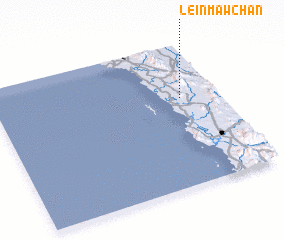 Places with similar names to Leinmawchan, Myanmar :: Disclaimer :: Information on this page comes without warranty of any kind |
||
|
Where is Leinmawchan? Elevation and coordinates ::
Latitude (lat): 15°37'0"N Longitude (lon): 97°50'0"E
Elevation (approx.): 23m (map arrows pan, magnifying glasses zoom) |
||
|
Visiting Leinmawchan? Hotel/Accommodation ::
Book a hotel in Leinmawchan Travel Guide ::
Buy a travel guide for Myanmar rental cars ::
car rental offers GPS waypoint ::
download a GPX waypoint (PoI) of Leinmawchan for your GPS receiver
|
||