|
search place name
|
||
Mān Pang-tap (Shan, Myanmar)Mān Pang-tap is a town in the Shan region of Myanmar. An overview map of the region around Mān Pang-tap is displayed below.
regional and 3d topo map of Mān Pang-tap, Myanmar ::

Mān Pang-tap airports ::
The nearest airport is LSH - Lashio, located 106.7 km north of Mān Pang-tap.
Other airports nearby include HEH - Heho (168.2 km south west), MDL - Mandalay Intl (179.7 km west), KET - Kengtung (217.1 km east), MOG - Mong Hsat (232.9 km south east), Nearby towns ::
Kunti (1.9km north) //
Möng Tung (1.9km north) //
Mān Sawng (1.9km north) //
Kunnem (2.5km south east) //
Ho-hkö (2.5km south east) //
Mān Nang-yaw (3.4km west) //
Mān Hawn (3.7km north) //
Pāngkwai (3.7km north) //
Kunpan (3.4km east) //
Winghu (3.4km east) //
Kawnghsan (4.1km north east) //
Hwe-lok (4.1km south west) //
Man Moi (4.1km south east) //
Sangwan (5.1km north east) //
Nawng-hi (5.1km north east) //
Wān Mau (5.1km south east) //
Hai-lai (5.5km east) //
Ho-hpai (5.5km east) //
Mān Pong (5.5km east) //
Hkai-paw (5.8km north) //
Pānghkai (6.5km north west) //
Nā-mon (6.3km north east) //
Nā-u (6.3km south west) //
Kun-hka (6.3km south east) //
Namhkam (6.9km east) //
Pāngleng (7.6km north) //
Makhinlai (7.6km north west) //
Pāngkeng (8.2km north east) //
Loi Kēng (7.8km south west) //
[all distances 'as the bird flies' and approximate] 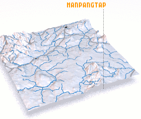 Places with similar names to Mān Pang-tap, Myanmar :: Disclaimer :: Information on this page comes without warranty of any kind |
||
|
Where is Mān Pang-tap? Elevation and coordinates ::
Latitude (lat): 22°1'0"N Longitude (lon): 97°41'0"E
Elevation (approx.): 1056m (map arrows pan, magnifying glasses zoom) |
||
|
Visiting Mān Pang-tap? Hotel/Accommodation ::
Book a hotel in Mān Pang-tap Travel Guide ::
Buy a travel guide for Myanmar rental cars ::
car rental offers GPS waypoint ::
download a GPX waypoint (PoI) of Mān Pang-tap for your GPS receiver
|
||