|
search place name
|
||
Nawnglat (Shan, Myanmar)Nawnglat is a town in the Shan region of Myanmar. An overview map of the region around Nawnglat is displayed below.
regional and 3d topo map of Nawnglat, Myanmar ::

Nawnglat airports ::
The nearest airport is HEH - Heho, located 70.4 km north west of Nawnglat.
Other airports nearby include MOG - Mong Hsat (201.4 km east), MDL - Mandalay Intl (204.2 km north west), Nearby towns ::
Namme-kong (2.5km north west) //
Hsohsa (4.1km north east) //
Wān Kang (4.1km south west) //
Lökpye (4.1km south east) //
Htiyam (5.1km north west) //
Panglöngka (5.1km south east) //
Pantāng (5.2km west) //
Lenlam (5.5km east) //
Htihamhong (5.8km south) //
Nawngta-pan (6.6km north east) //
Nammawhsenghkam (7.6km north) //
Wān Hwe (7.2km east) //
Ntīaswe (7.6km north west) //
Loi-hsau (7.9km north east) //
Htipwa (9.1km north west) //
Htilonghsu (10.2km south east) //
[all distances 'as the bird flies' and approximate] 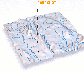 Places with similar names to Nawnglat, Myanmar ::
// Nankalet (MM)
// Nanegalito (EC)
// Nanaeklot (ID)
// Nanga Litau (ID)
// Nangolet (SD)
// Nanggalotu (FJ)
// Ninnglita (ML)
// Nangalete (MZ)
// Nan Galette (HT)
// Nan Galette (HT)
Disclaimer :: Information on this page comes without warranty of any kind |
||
|
Where is Nawnglat? Elevation and coordinates ::
Latitude (lat): 20°22'0"N Longitude (lon): 97°20'0"E
Elevation (approx.): 1245m (map arrows pan, magnifying glasses zoom) |
||
|
Visiting Nawnglat? Hotel/Accommodation ::
Book a hotel in Nawnglat Travel Guide ::
Buy a travel guide for Myanmar rental cars ::
car rental offers GPS waypoint ::
download a GPX waypoint (PoI) of Nawnglat for your GPS receiver
|
||