|
search place name
|
||
Ngasin (Myanmar)Ngasin is a town in Myanmar. An overview map of the region around Ngasin is displayed below.
regional and 3d topo map of Ngasin, Myanmar ::

Ngasin airports ::
The nearest airport is MDL - Mandalay Intl, located 189.1 km east of Ngasin.
Other airports nearby include AKY - Sittwe (220.0 km south west), Nearby towns ::
Pamyin (1.9km south) //
Ti (3.4km east) //
Letpan (3.7km north) //
Kunzè (4.1km north west) //
Akyiban (5.8km south) //
Kyaing (6.5km north east) //
Tilin (6.4km south west) //
Ponna (6.9km west) //
Talin (6.9km west) //
Nyaung (7.6km south) //
Tharaka (7.6km south west) //
Taungbet (7.6km south west) //
Sinzwe (9.0km north east) //
Pazinchaung (8.9km north west) //
Kaukni-kin (9.0km south east) //
[all distances 'as the bird flies' and approximate] 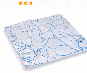 Places with similar names to Ngasin, Myanmar ::
// Ngazane (MM)
// Ngazun (MM)
// Ngosin (MM)
// Nixon (US)
// Nixon (US)
// Néa Kesáni (GR)
// Gniewczyna (PL)
// Niczonów (PL)
// Niegocin (PL)
// Niegocin (PL)
Disclaimer :: Information on this page comes without warranty of any kind |
||
|
Where is Ngasin? Elevation and coordinates ::
Latitude (lat): 21°43'0"N Longitude (lon): 94°9'0"E
Elevation (approx.): 389m (map arrows pan, magnifying glasses zoom) |
||
|
Visiting Ngasin? Hotel/Accommodation ::
Book a hotel in Ngasin Travel Guide ::
Buy a travel guide for Myanmar rental cars ::
car rental offers GPS waypoint ::
download a GPX waypoint (PoI) of Ngasin for your GPS receiver
|
||