|
search place name
|
||
Pakaw (Sagaing, Myanmar)Pakaw is a town in the Sagaing region of Myanmar. An overview map of the region around Pakaw is displayed below.
regional and 3d topo map of Pakaw, Myanmar ::

Pakaw airports ::
The nearest airport is MYT - Myitkyina, located 199.4 km north east of Pakaw.
Other airports nearby include IMF - Imphal (209.1 km west), LSH - Lashio (235.3 km south east), Nearby towns ::
Mingon (2.5km south east) //
Peinnebin (2.5km south west) //
Pula (3.4km west) //
Taunglwe (4.1km north west) //
Hmangin (3.9km south east) //
Kandaw (5.8km north) //
Namalut (5.8km north) //
Legyin (6.3km north west) //
Se-u (6.8km east) //
Tonpin (7.0km east) //
Magyigon (7.6km north) //
Mankat (7.6km north) //
Pinngobin (7.5km south east) //
Natonna (7.7km south east) //
Sondaw (7.7km north east) //
Thingandok (8.1km south east) //
Pandin (8.8km north east) //
Singon (10.0km south east) //
[all distances 'as the bird flies' and approximate] 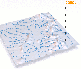 Places with similar names to Pakaw, Myanmar ::
Disclaimer :: Information on this page comes without warranty of any kind |
||
|
Where is Pakaw? Elevation and coordinates ::
Latitude (lat): 24°12'0"N Longitude (lon): 95°52'0"E
Elevation (approx.): 236m (map arrows pan, magnifying glasses zoom) |
||
|
Visiting Pakaw? Hotel/Accommodation ::
Book a hotel in Pakaw Travel Guide ::
Buy a travel guide for Myanmar rental cars ::
car rental offers GPS waypoint ::
download a GPX waypoint (PoI) of Pakaw for your GPS receiver
|
||