|
search place name
|
||
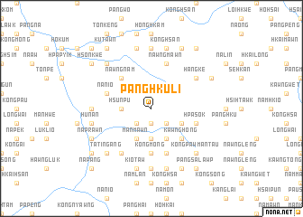
Pānghku-li (Shan, Myanmar)Pānghku-li is a town in the Shan region of Myanmar. An overview map of the region around Pānghku-li is displayed below.
regional and 3d topo map of Pānghku-li, Myanmar ::
Pānghku-li airports ::
The nearest airport is LSH - Lashio, located 79.3 km north east of Pānghku-li.
Other airports nearby include MDL - Mandalay Intl (164.2 km south west), HEH - Heho (187.2 km south), MOG - Mong Hsat (277.2 km south east), Nearby towns ::
Kawnglāng (1.9km south) //
Kawnhkung (2.5km south east) //
Mānkyawng (2.5km south west) //
Mānkat (3.7km south) //
Hsunpu (3.4km west) //
To-hsaw (4.1km south east) //
Nam-mai-kut (3.9km south east) //
Mānmawn (4.1km south west) //
Kawng-hong (5.0km south east) //
Nawngnam (5.0km north west) //
Tawmawn (5.6km south) //
Köngmöng (5.6km south) //
Hpāknam (5.8km south) //
Nawngmawn (5.8km north) //
Hpa-sök (5.5km east) //
Nānio (5.5km west) //
Namakwan (6.5km south west) //
Hang-ke (6.3km north east) //
Nāhai (7.4km south) //
Nāsalawng (6.9km west) //
Maksawk (7.4km north) //
Pāmawng (7.6km south) //
Mānmao (7.6km south) //
Nā-pangkao (7.6km south) //
Hosang (7.6km south) //
Kiotaw (7.6km south) //
Hunan (7.1km west) //
Könghsān (7.6km north) //
Nā-makhkaw (7.6km north) //
[all distances 'as the bird flies' and approximate] 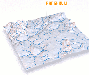 Places with similar names to Pānghku-li, Myanmar ::
Disclaimer :: Information on this page comes without warranty of any kind |
||
|
Where is Pānghku-li? Elevation and coordinates ::
Latitude (lat): 22°20'0"N Longitude (lon): 97°25'0"E
Elevation (approx.): 797m (map arrows pan, magnifying glasses zoom) |
||
|
Visiting Pānghku-li? Hotel/Accommodation ::
Book a hotel in Pānghku-li Travel Guide ::
Buy a travel guide for Myanmar rental cars ::
car rental offers GPS waypoint ::
download a GPX waypoint (PoI) of Pānghku-li for your GPS receiver
|
||