|
search place name
|
||
Pangpau-long (Shan, Myanmar)Pangpau-long is a town in the Shan region of Myanmar. An overview map of the region around Pangpau-long is displayed below.
regional and 3d topo map of Pangpau-long, Myanmar ::

Pangpau-long airports ::
The nearest airport is HEH - Heho, located 126.7 km west of Pangpau-long.
Other airports nearby include MOG - Mong Hsat (137.0 km east), KET - Kengtung (201.9 km north east), THL - Tachilek Tachileik (207.4 km east), MDL - Mandalay Intl (250.6 km north west), Nearby towns ::
Kongkeng (1.7km west) //
Kyawktawng (5.1km north west) //
Kangnahka (6.4km north west) //
Nā-lom (6.4km north west) //
Kongpau (6.6km south west) //
Wān Hkunlao (7.6km north) //
Kehkwang (7.6km south west) //
Tenang (7.6km north west) //
Hpa-ot (8.2km south west) //
Paiteaulonghu (8.2km north west) //
Longhu (8.2km north west) //
Langhko (8.9km south east) //
Longtan (10.2km south east) //
Longhkat (10.2km north west) //
[all distances 'as the bird flies' and approximate] 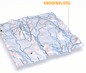 Places with similar names to Pangpau-long, Myanmar :: Disclaimer :: Information on this page comes without warranty of any kind |
||
|
Where is Pangpau-long? Elevation and coordinates ::
Latitude (lat): 20°24'0"N Longitude (lon): 97°57'0"E
Elevation (approx.): 864m (map arrows pan, magnifying glasses zoom) |
||
|
Visiting Pangpau-long? Hotel/Accommodation ::
Book a hotel in Pangpau-long Travel Guide ::
Buy a travel guide for Myanmar rental cars ::
car rental offers GPS waypoint ::
download a GPX waypoint (PoI) of Pangpau-long for your GPS receiver
|
||