|
search place name
|
||
Pase Mira (Myanmar)Pase Mira is a town in Myanmar. An overview map of the region around Pase Mira is displayed below.
regional and 3d topo map of Pase Mira, Myanmar ::

Pase Mira airports ::
The nearest airport is NST - Nakhon Si Thammarat Cha Ian, located 258.5 km south east of Pase Mira.
Nearby towns ::
Bān Sadein (0.0km north) //
Sungēi-I-nu (2.6km north east) //
Le-mun (4.1km south west) //
Talobusa (5.9km north) //
Talok Babai (7.4km south) //
Sungēi Makaung (7.6km north) //
Cheokling (9.2km south east) //
[all distances 'as the bird flies' and approximate] 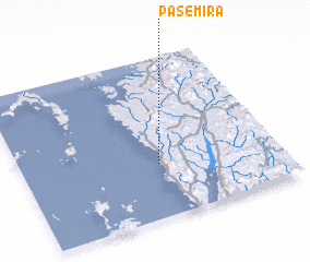 Places with similar names to Pase Mira, Myanmar ::
// Pazmari (AZ)
// Píso Meriá (GR)
// Pousa Maria (PT)
// Pozomouro (ES)
// Pasamar (MX)
// Puzumbur (NG)
// Pessemer' (RU)
// Pizhmar (RU)
// Peasemore (GB)
Disclaimer :: Information on this page comes without warranty of any kind |
||
|
Where is Pase Mira? Elevation and coordinates ::
Latitude (lat): 10°20'0"N Longitude (lon): 98°32'0"E
Elevation (approx.): 12m (map arrows pan, magnifying glasses zoom) |
||
|
Visiting Pase Mira? Hotel/Accommodation ::
Book a hotel in Pase Mira Travel Guide ::
Buy a travel guide for Myanmar rental cars ::
car rental offers GPS waypoint ::
download a GPX waypoint (PoI) of Pase Mira for your GPS receiver
|
||