|
search place name
|
||
Pauktaik (Sagaing, Myanmar)Pauktaik is a town in the Sagaing region of Myanmar. An overview map of the region around Pauktaik is displayed below.
regional and 3d topo map of Pauktaik, Myanmar ::

Pauktaik airports ::
The nearest airport is MDL - Mandalay Intl, located 132.1 km south east of Pauktaik.
Other airports nearby include HEH - Heho (259.5 km south east), AJL - Aizwal Aizawl (269.4 km north west), Nearby towns ::
Saingya (1.9km south) //
Wayôn (3.7km south) //
Nyaunggaing (4.1km north west) //
Chaungzôn (5.1km south east) //
Chaunggauk (5.1km west) //
Minbintin (5.6km north) //
Kyundaw (5.8km south) //
Sinzwe (6.5km south west) //
Indaw (7.8km south west) //
Kônywa (9.0km south east) //
Nattaung (8.8km south east) //
Gyogyawin (10.1km south west) //
[all distances 'as the bird flies' and approximate] 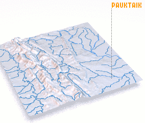 Places with similar names to Pauktaik, Myanmar ::
// Pokodo Auk (MM)
// Pawcatuck (US)
// Pogódki (PL)
// Pikteikiai (LT)
// Pakoudougou (BF)
// Paektŏk (KP)
// Piquete Cué (PY)
// Poço dʼÁgua (BR)
// Poço dʼÁgua (BR)
// Počátky (CZ)
Disclaimer :: Information on this page comes without warranty of any kind |
||
|
Where is Pauktaik? Elevation and coordinates ::
Latitude (lat): 22°10'0"N Longitude (lon): 94°48'0"E
Elevation (approx.): 133m (map arrows pan, magnifying glasses zoom) |
||
|
Visiting Pauktaik? Hotel/Accommodation ::
Book a hotel in Pauktaik Travel Guide ::
Buy a travel guide for Myanmar rental cars ::
car rental offers GPS waypoint ::
download a GPX waypoint (PoI) of Pauktaik for your GPS receiver
|
||